


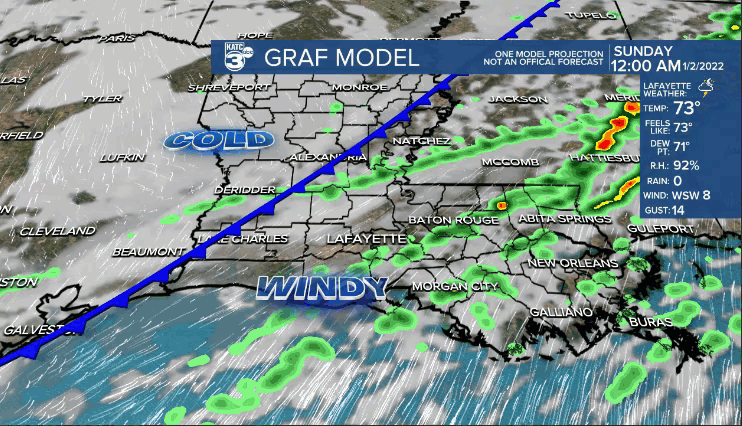
COLD FRONT arrives after midnight tonight.
Temperatures will start out in the upper 50s/lower 60s early Sunday morning.

That will be our high for the day as readings fall into the 40s by the afternoon with a brisk northerly wind.
Few light showers will be lurking around for the first half of the morning.
Partial clearing of skies possible late, but clouds may hang tough.
Skies clear tomorrow night.
Heading for the freezing degree mark Monday morning with wind chills in the 20s!
A nice, but chilly day Monday as highs top out in the upper 40s to lower 50s.
Temperatures will dip into the 30s Monday night/Tuesday morning.
An upper-level feature traversing the area will likely yield to more clouds throughout Tuesday.
Temperatures will push the lower 60s.
Even milder for Wednesday as highs climb into the lower 70s.
Next cold front will arrive on Thursday and that will usher in another shot of colder air by Friday.
Warming up a bit again into the weekend with scattered rain chances returning.
We could see yet another front by the end of next weekend and into early next week.
Certainly more of a changeable weather pattern as we start off the new year!
