


Another cold night ahead across Acadiana as temperatures drop into the middle 30s under mainly clear skies.

Winds are expected to be lighter compared to last night, thus some patchy frost will be possible.
Just to be on the safe side, you may want to cover (or bring inside) any tender vegetation you may have.
After that cold start, we will see a return of southerly winds throughout Friday which will push our temperatures into the lower 60s.
Average high this time of year is 63 degrees, and we will pretty much top out close to that on Friday.
Mostly sunny skies can be expected as well.

Clouds and southerly winds will be increasing overnight Friday into Saturday morning, so temperatures will be kept in check in the upper 40s.
Mild day coming up on Saturday as afternoon highs climb into the lower 70s under mostly cloudy skies.
Some spotty showers will be possible late in the day on Saturday, but scattered rain chances will be increasing through the overnight period on Saturday and into early Sunday morning (60%).
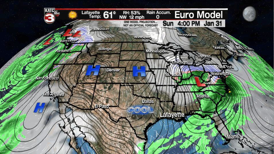
Southeastern parts of Acadiana will likely be dealing with some shower activity first thing on Sunday morning, but the rest of the day looks to remain dry and cool as highs come back down into the middle-upper 60s.
It will be a really nice and cool start to the following week with plenty of sunshine in place on Monday.
Expect cool conditions out there as afternoon highs top out in the mid-upper 50s for both Monday and Tuesday.
The up and down weather will continue throughout next week as milder temperatures return for mid-late week followed by another potential cool down heading into the following weekend.
