


After a sunny but frigid Mardi Gras, Louisiana and portions of Acadiana will be faced with the next winter storm Wednesday, but the bulk of hazardous winter conditions should be confined to the central and northern part of the state with rain and a few embedded storms likely for most of our area.
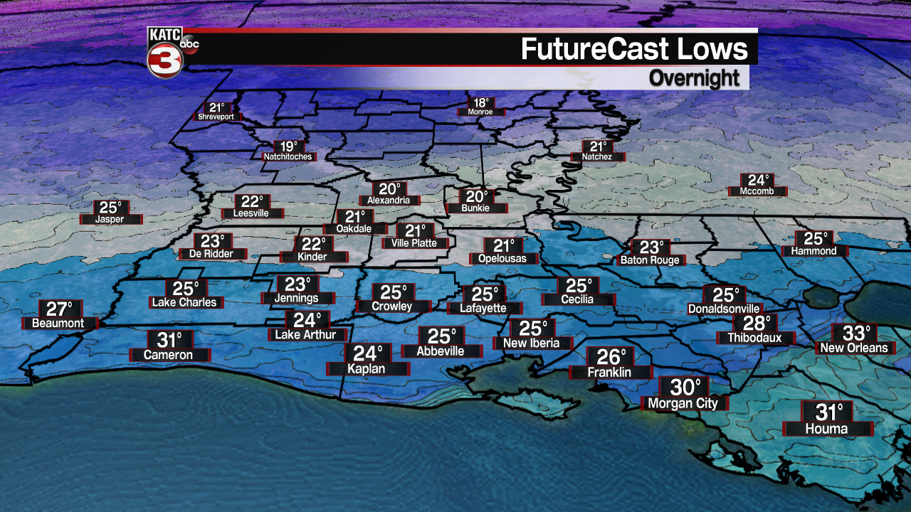
Before the next system approaches, clear skies early will allow temperatures to once again drop into the hard freeze zone with readings around midnight dropping into the low to mid-20s.
Clouds will arrive after midnight and some light precipitation won't be far behind.
And as the precipitation starts, it will likely be accompanied by some sort of wintry mix, primarily sleet and freezing rain, especially for the northern portions of Acadiana prior to daybreak.
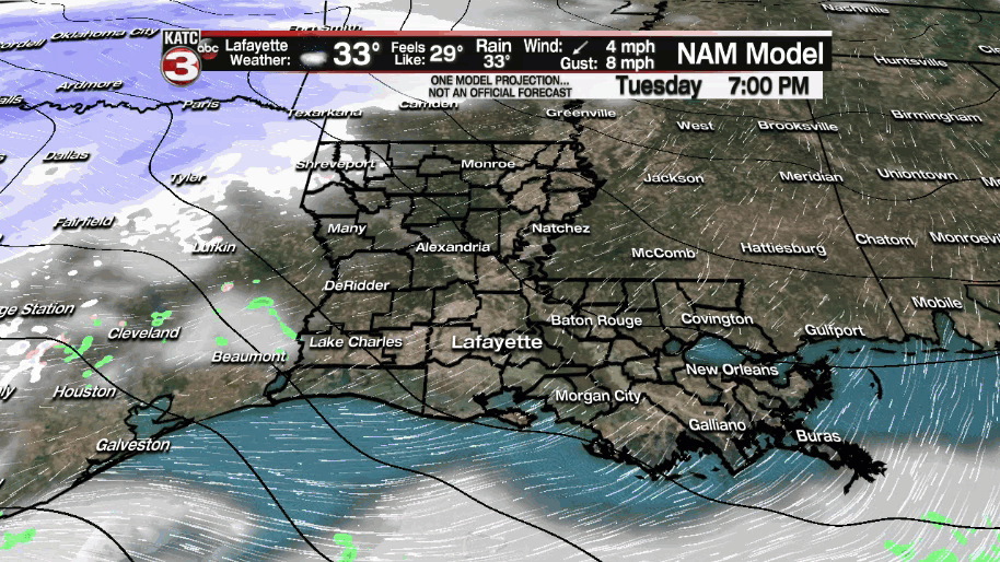
The precipitation will likely change over to all rain and a few embedded thunderstorms for Acadiana into Wednesday afternoon as temperatures climb into the low-mid 40s in most areas.
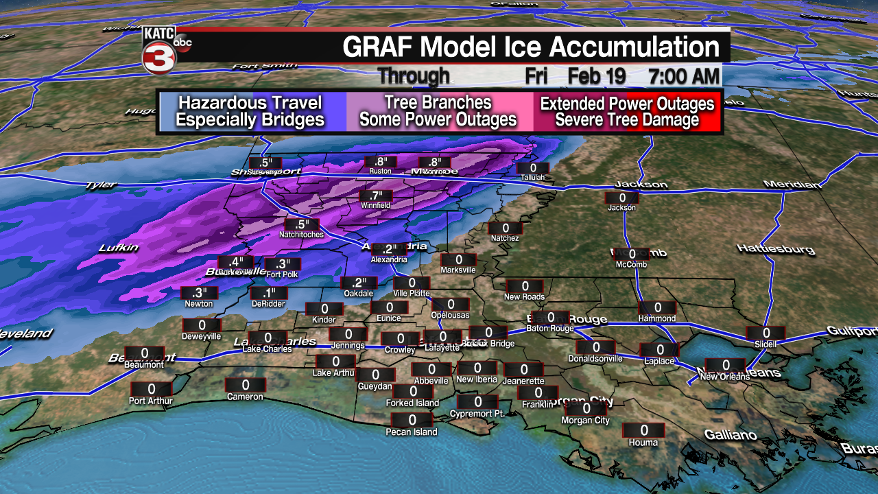
A Winter Storm Warning is posted for Central and Northern Louisiana including Vernon, Rapides and Avoyelles Parishes locally possible ice accumulations of .10-.30" for the parishes just north of Acadiana...higher ice accumulations will be likely farther north.

Northern portions of Acadiana might see some icy conditions early in the event, primarily through daybreak Wednesday, but it appears that coldest temps & accumulating ice will be in the central-northern part of the state.

Once again portions of Northern Louisiana will see crippling accumulating ice and perhaps even some snow along and north of the I-20 corridor.

And interestingly enough, there may also be a low end (marginal-slight) severe weather threat, primarily for St Mary Parish Wednesday afternoon/evening with storms capable of producing damaging winds, hail & perhaps an isolated tornado...this will be most pronounced toward SE LA.

Most of Acadiana will eventually just see a good soaking of rain up to 1-2" Wednesday.
Behind the system a winter chill will remain, with the possibility of some light precipitation, perhaps mixed with some scattered sleet pellets early Thursday.
Temperatures Thursday will likely be confined to the mid-upper 30s with skies clearing and temperatures dropping back below freezing Thursday night.
Clear and cold weather will ensue Friday into Saturday with the possibility of one more hard freeze Friday night before a trend of milder weather commences this weekend.
Next week it appears that high temperatures will get back to near normal for the time of year, into the 60s and perhaps reach the lower 70s by the end of the week.
See the KATC 10 Day Forecast for the latest.
------------------------------------------------------------
Stay in touch with us anytime, anywhere.
To reach the newsroom or report a typo/correction, click HERE.
Sign up for newsletters emailed to your inbox. Select from these options: Breaking News, Evening News Headlines, Latest COVID-19 Headlines, Morning News Headlines, Special Offers
