It's back to a winter chill to round out the weekend.
Low temperatures tonight will be in the middle and upper 50s.
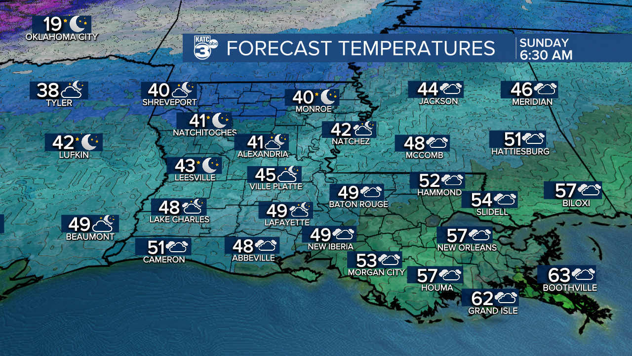
Breezy northerly winds will give us a wind chill in the lower 40s first thing Sunday morning.
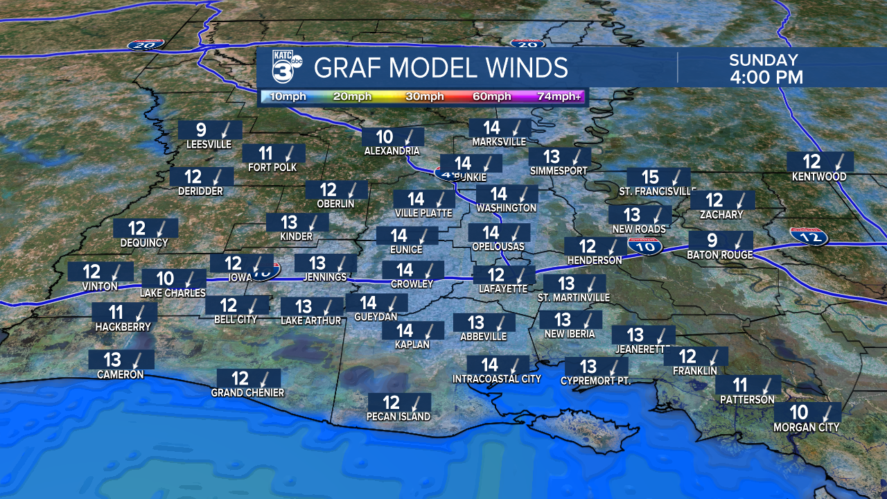
Temperatures will stay cool in the mid-upper 50s Sunday afternoon under a partly sunny sky.
Winds will remain breezy out of the north at around 10-15mph.
Even a little chillier by Monday morning with readings in the lower to middle 40s.
Mostly cloudy, chilly and occasional light rain showers on Monday will yield to a dreary winter day.
Temperatures will struggle to reach the low-mid 50s.
Mostly sunny skies will return Tuesday with seasonably cool temperatures in the upper 50s.
Plentiful sunshine Wednesday as highs top out in the lower to middle 60s.
Temperatures will begin to moderate Thursday and through the rest of the week and heading into Christmas.
In fact, plan on a warm Christmas with highs in the middle to even upper 70s with partly cloudy skies.
The good news is that after Monday, we will remain dry through the Christmas holiday!
Have a great rest of the weekend!
