


Acadiana's brief mid-summer respite from typical August heat and humidity will begin to slowly depart Friday, with summer conditions returning accompanied by the requisite heat, humidity and scattered afternoon storms this weekend.
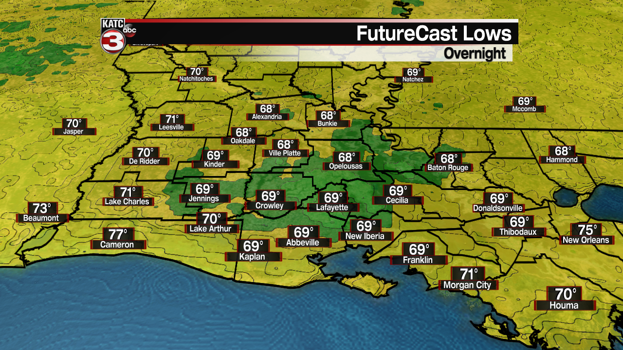
In the near term, it should be another relatively pleasant night/Friday morning with fair skies accompanied by temperatures dropping into the upper 60s to lower 70s by daybreak.
Hazy and hot conditions are anticipated for our Friday with a few pop-up showers possibly developing across the coastal parishes. Rain chances Friday for most of us should be well below 10%.
The hazy skies across Acadiana have been mostly due to some wild fire smoke getting caught up in the ridge of high pressure dominating over the region.
Another hazy day is expected Friday, but as southerly winds returning this weekend (along with humidity & scattered PM storms), the skies will begin to get bluer again.
Smoke situation will remain poor in the West across the Northern U.S. and Canada.
Temperatures Friday will top out near 90° but the heat index should stay in check for one more day.

This weekend will bring increased flow from the Gulf of Mexico, so humidity, temperatures and the chance of scattered afternoon storms should go up.
Rain chances this weekend will increase to about 30% Saturday and near 40% Sunday afternoon.
Highs this weekend will get into the lower 90s with heat indices gradually pushing 102-105° by Sunday.
The outlook for all of next week and the following weekend remains mid-August-like with partly cloudy, hot and humid conditions persisting along with the day to day risk of scattered afternoon storms.
Rain chances look to continue to bounce between 20% and 40% for the next week to 10 days.
Meanwhile in the tropics, the National Hurricane Center is monitoring two areas in the Central and Eastern Tropical Atlantic.
One disturbance in particular, about to come off of the African Coast, has a high chance of development over the next 5 days.
Elsewhere in the Gulf and Caribbean, it's relatively quiet, but that may indeed change within the next two weeks as models are showing deeper tropical moisture beginning to pool in the Caribbean and Gulf toward the end of this month.
In addition, the upper atmospheric (Kelvin) wave profiles (also know as the Madden-Jullian Oscillation), is showing favorable conditions for tropical development in our part of the tropics in the one to two week period...the precipice of hurricane season is just about on us...be prepared.
------------------------------------------------------------
Stay in touch with us anytime, anywhere.
To reach the newsroom or report a typo/correction, click HERE.
Sign up for newsletters emailed to your inbox. Select from these options: Breaking News, Evening News Headlines, Latest COVID-19 Headlines, Morning News Headlines, Special Offers
