


A better chance of scattered afternoon storms are in the forecast for Acadiana over the next couple of days, while the tropics remain active, but with no Louisiana threats.
The area remains locked in a full summer pattern with hot and humid conditions along with scattered afternoon showers and thunderstorms.
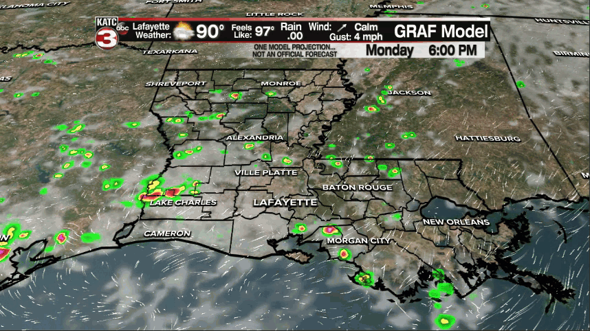
Monday turned out to be a "20-30%" type of day, but the risk of afternoon storms should be higher over the next few days through Thursday.
Rain chances should increase to near 40% Tuesday afternoon/early evening, near 50% Wednesday and up to 60% by Thursday.
Daytime highs will continue to reach the lower 90s while overnight lows level off in the mid-70s.
A stronger ridge of high pressure will build into the region starting Friday reducing our rain chances and allowing for more blazing heat, pushing the mid-90s this weekend.
And along with our usual heat, heat indices will likely top 100-104° range through much of the week (except for perhaps Thursday with the best chance of storms this week), and may rise to the 106-112° range into this weekend.

Meanwhile the tropics are certainly more active than a week ago, but "climatologically-speaking" they should be this time of year as we near the peak of the season over the next several weeks.

In the Eastern Gulf Tropical Storm Fred with 60 mph winds made landfall Monday afternoon near and just East of Panama City (same spot that was obliterated by Hurricane Michael in 2018).

Fred will continue to dump locally heavy rainfall and produce localized flooding as it advances inland through the Appalachian States with the circulation eventually dissipating near Pennsylvania by mid-week.

Farther east in the open Atlantic, Tropical Storm Henri (ahn-REE) formed Monday afternoon. This system should be of no threat to the U.S as it loops around Bermuda.

Farther south, Tropical Depression Grace near Haiti was producing heavy rainfall over the earthquake ravaged area and is expected to become a tropical storm again by Tuesday.

This system will likely threaten the Yucatan mid-week, very close to hurricane intensity and then should go on to cross the extreme Southwestern Gulf/Bay of Campeche perhaps strengthening to a more formidable hurricane threatening Eastern Mexico this weekend.

It should be noted that while the National Hurricane Center is currently forecasting a Category 1 storm for Grace's second landfall, but some of the more reliable hurricane models continue to insist on a stronger hurricane developing but fortunately for Louisiana the aforementioned ridge of high pressure building in for the weekend will steer the storm well to our south.
Looking into next week, it appears that Acadiana's hot and mostly dry pattern will continue into the early part of the week but should eventually yield a tropical wave that should bring a better chance of storms to the area in the 9-10 day time-frame.

See the KATC 10 Day Forecast for the latest.
------------------------------------------------------------
Stay in touch with us anytime, anywhere.
To reach the newsroom or report a typo/correction, click HERE.
Sign up for newsletters emailed to your inbox. Select from these options: Breaking News, Evening News Headlines, Latest COVID-19 Headlines, Morning News Headlines, Special Offers
