


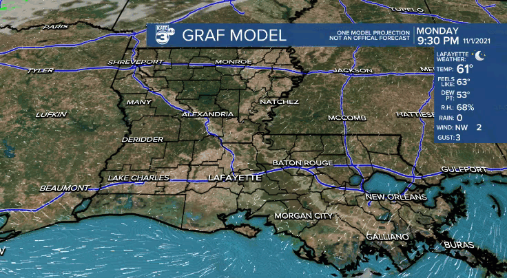
Another cool night will be in store across Acadiana.
Overnight lows will be in the lower to middle 50s under clear skies.
The weather pattern will remain rather quiet and nice heading into Tuesday.
It'll stay mild as temperatures push the upper 70s by the afternoon under mostly sunny skies.
Wednesday does not look too terribly bad either.
After another morning start in the low-mid 50s, temperatures will be a tad cooler into Wednesday afternoon (low-mid 70s) as more clouds move into the region in response to an upper-level feature and associated surface frontal boundary.
That front will give us our next chance of rain late Wednesday and going into Thursday morning.
Not a great deal of rainfall is expected with most of us picking up 0.5" or less.
Thursday will kind of be a dreary and cool day.
Rain chances will begin to taper into the afternoon, but clouds will likely linger keeping temperatures only in the lower to middle 60s.
Gradually clearing skies into Friday, but we'll stay cool.
The weekend is looking nice for now with morning starts in the 40s and afternoon finishes in the upper 60s to lower 70s.
TROPICS
The NHC is highlighting two small areas of interest, but both are not expected to develop nor be a concern for us here in Acadiana.
Tropical storm Wanda is continuing to track harmlessly out to sea.
