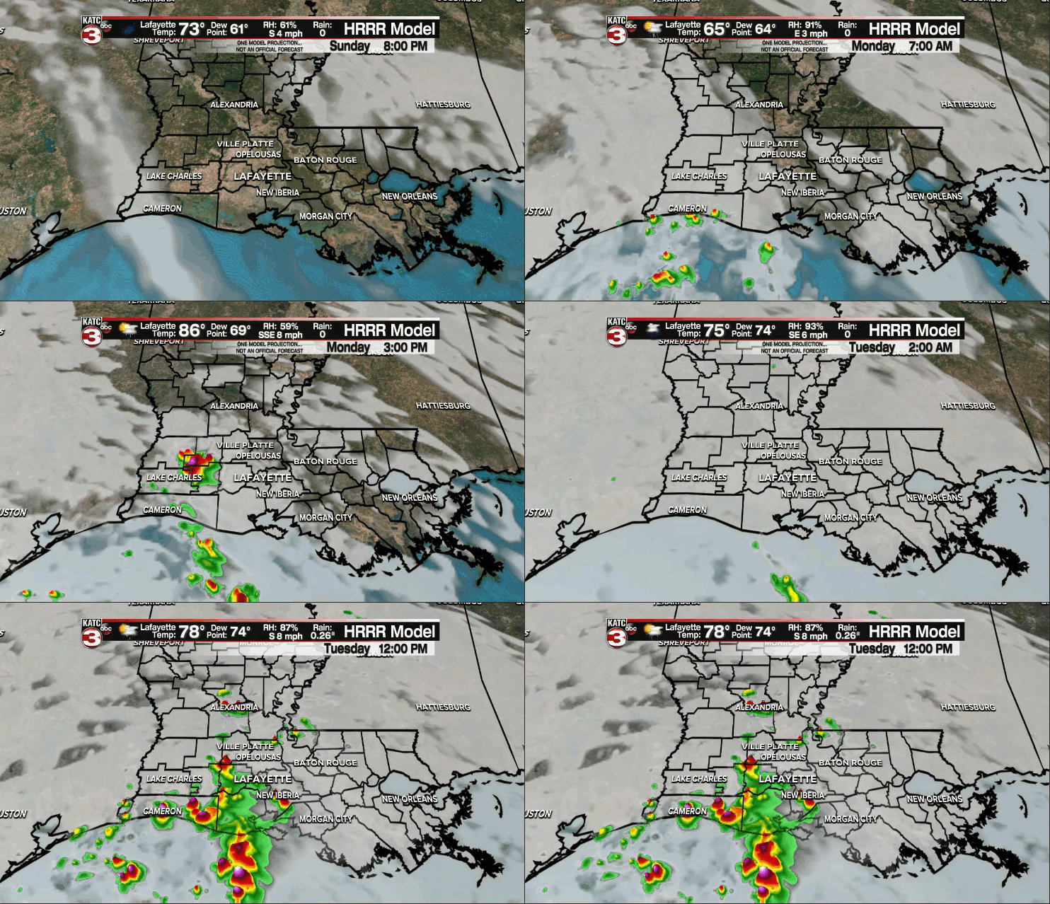
After a beautiful weekend across the area, we'll start to transition to a muggier pattern this week with rain chances returning.
It will not be quite as cool tonight as lows drop into the middle 60s.
Southeasterly winds will be in place Monday which means we'll start to see an increase in that Gulf moisture.

Expect muggier conditions out there as temperatures top out in the mid-upper 80s with those heat indices approaching the lower 90s (sigh).
A few isolated showers will be possible with the heating of the day.
Rain chances will sit in the 20-30% range.

They'll peak in the 60% range heading into mid-week as that moisture continues to build across the region.
We're looking at mild mornings in the 70s this week with warm afternoons in the mid-upper 80s.
Some drier air will try and work in by the end of the week and into next weekend which could help to lower our rain changes.
We'll see how the pattern continues to evolve this week, so stay tuned.
Have a great week!
TROPICS:
Hurricane Sam is an absolute beast in the Atlantic this afternoon with maximum sustained winds of 150 mph.
There is still a window of opportunity for it to achieve category 5 strength.

Regardless, this will thankfully not be a threat to land, although Bermuda will have to follow the progression of the system in the days ahead as it will likely pass very close to the island.
A couple of other areas have a chance of development in the days ahead, but none of which presents a threat to the Gulf nor us here in Acadiana.

We'll continue to keep an eye on things for you.


