


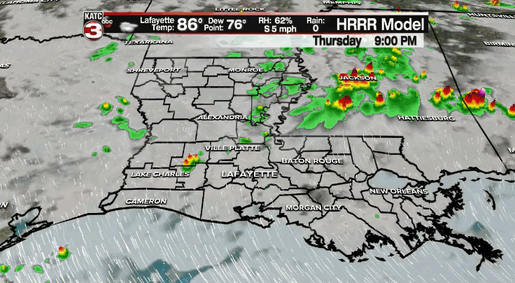
A few leftover isolated showers will remain possible through this evening.
Otherwise, expect a quiet and warm night ahead as temperatures drop into the middle and upper 70s.
High pressure aloft and at the surface will settle in on Friday.
As a result, expect rain coverage to be much lower across the region.
We can't completely rule out a stray shower during the afternoon, but most of us will remain dry.
It'll be hot out there as temperatures top out in the lower to middle 90s.
Those heat indices will sit in the lower 100s.

Not much relief from the heat this weekend as high pressure remains in control.
High temperatures will make their way into the middle 90s both Saturday and Sunday.

You'll want to make sure to take proper heat precautions if you plan on being outside for an extended period of time.
Rain chances will return to where we would expect them to be this time of year heading into next week (30-40%).
High temperatures will settle into the lower 90s.
Have a good one!
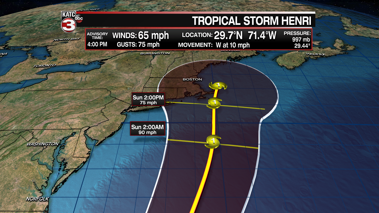
In the tropics:
We continue to track Grace and Henri out in the tropics; however, both present no threat to Acadiana.
Grace will move through the Caribbean before making a second Mexican landfall late Friday into Saturday.

Henri could threaten the east coast with time, so we'll keep an eye on it for our friends up north.
The rest of the tropical Atlantic is quiet at this time.
