


Well, the seabreeze was in full effect today and coupled with daytime heating, helped to generate a good scattering of showers and storms across the area.
Most of the activity still on the radar late this afternoon will begin to come to an end this evening.
Expect a warm a humid night ahead as overnight lows drop into the middle 70s.
Some patchy fog may be possible in spots first thing tomorrow morning.
Similar to Wednesday, once the seabreeze kicks in mid/late morning and into the afternoon, another round of scattered showers and storms will start to develop.
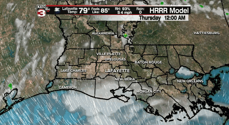
Not everyone necessarily will see the rain, but those rain chances will sit at 50-60%.
A few brief, heavy downpours will be possible.
It is also lightning season, so continue to be mindful of that.
Much of the same going into Friday with about a 40% chance for those storms.
Rain chances may come down a bit for Saturday before increasing again by late this weekend and into most of next week as tropical moisture surges into the region and a more unsettled weather pattern takes shape.
Sometimes, you have to take what you can get this time of year.
And in this case, more clouds and showers translates to ever so slightly cooler temperatures.
Have a good one!
~Bradley
In the Tropics:
The hurricane center is highlighting two areas of interest in the Atlantic basin.
The first is a tropical wave coming off the African coast that has a 20% chance of development in the next 5 days.
However, models are not really doing a whole lot with it in the days ahead.
Something we'll keep an eye on, but it's pretty difficult to see these disturbances making the long trek across the Atlantic this early in the season.
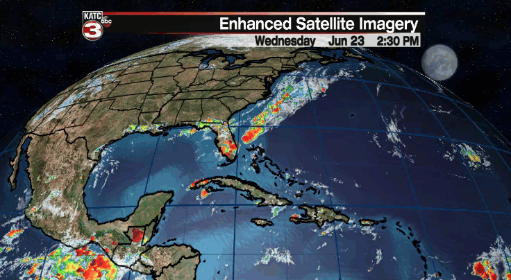
Another small area is just east of the Lesser Antilles and the NHC continues to maintain a 10% of development.
However, it will be running into a pretty hostile environment in the Caribbean and development is not likely.
We'll still keep an eye on it as the moisture associated with it progresses westward.
Some models, like the GFS, try and get something going in the southern Gulf as we round out June and start the first week of July.
BUT, that is still over a week out and we have plenty of time to monitor things.
Certainly nothing to be concerned with at this point!
We'll of course continue to keep you updated with any developments coming out of the tropics.
------------------------------------------------------------
Stay in touch with us anytime, anywhere.
To reach the newsroom or report a typo/correction, click HERE.
Sign up for newsletters emailed to your inbox. Select from these options: Breaking News, Evening News Headlines, Latest COVID-19 Headlines, Morning News Headlines, Special Offers
