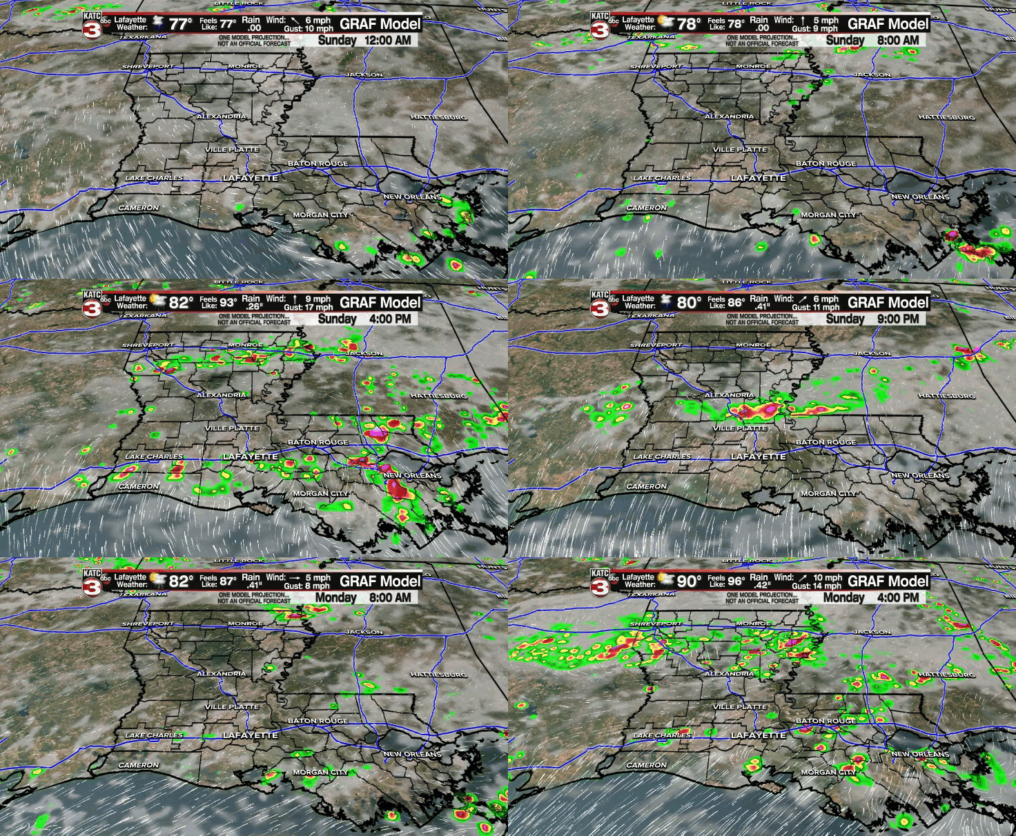
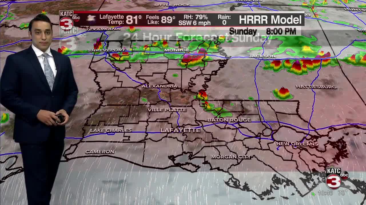
The weather pattern has been pretty hard to shake with scattered showers and thunderstorms firing up just about each and every day.
There continues to be this general weakness in the atmosphere which is allowing those storms to develop.
Southerly flow at the surface continues to bring in low-level moisture, and as that taps into maximum daytime heating during the afternoon hours, showers and storms are able to get cooking.
I do not see much reason to change the forecast heading into Sunday.
After a morning start in the middle 70s, expect a mixture of sun and clouds throughout the day.
I've got rain chances at 50% (100 that we see rain in the viewing area but about 50% of the area indeed sees the rain = 50% chance).

Northern parishes are more likely to stay relatively drier with most of the storm activity confined to along and south of the interstate.
It will be hot and humid as afternoon highs climb into the lower 90s with heat index values in the upper 90s.
A frontal trough will be advancing southward into Monday.
That will increase our rain chances, especially for the latter part of Monday and heading into Monday night.
Unfortunately, rain chances look to stay elevated for both Tuesday and Wednesday as that feature stays pretty close to the area and interacts with high low-level moisture content.
Rain chances should SLOWLY start to taper off by the end of the week and into the following weekend as high pressure and drier air tries to filter in.
For those getting tired of the rain... keep the fingers crossed that this does indeed come to fruition.
However, it will turn hotter as temperatures push the lower to middle 90s.
Have a great rest of the weekend!
~ Bradley
In the tropics:
All is quite with no new developments expected at least in the next 5 days.


