


High pressure aloft couple with more Saharan dust has kept rain chances low this weekend, and instead it has been all about the heat.
Temperatures were able to get well into the middle 90s this afternoon with heat index values running in the triple digits.
Hopefully you were able to find ways to stay cool out there! Or just maybe stayed inside ha!
High pressure will start to break down a bit tomorrow and lift to the NW, and with a little more moisture moving in, it'll be back to a pretty routine summer pattern.
After a morning start in the middle to upper 70s, temperatures will max out in the lower to middle 90s.
A heat ADVISORY will go into effect for Acadia, Lafayette, upper St. Martin, Evangeline, and St. Landry parishes beginning at noon and will last until 7 pm tomorrow evening.

Be sure to continue to take proper heat precautions if you have to be outdoors for an extended period of time.

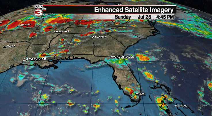
I do expect there to be a few more scattered storms around the region with the heating of the day tomorrow afternoon and evening.
Some drier air will look to move in on Tuesday which may help to lower rain chances a bit (slightly higher rain chances for western parishes where higher moisture values will be in place).
By mid and late week, a ridge of high pressure will take hold just off to our north and west.
We'll be on the outer periphery of it and with a decent amount of low-level moisture remaining in place, we'll see a scattering of showers and storms just about each and every afternoon.
That high will try to expand and work in closer to the area by the weekend which would knock down the rain chances.
We'll see how the pattern evolves this week...
Y'all have a great week!
~Bradley
In the tropics:
Invest 90L still has a 50/50 shot at becoming a depression over the next 2-5 days, but it continues to look unimpressive on satellite imagery.
Models continue to not do much with it in the days ahead.
At the very least, it will increase rain chances for portions of the Gulf coast this week.
The rest of the tropical Atlantic is quiet at this time.
