


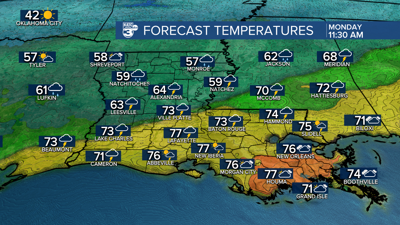
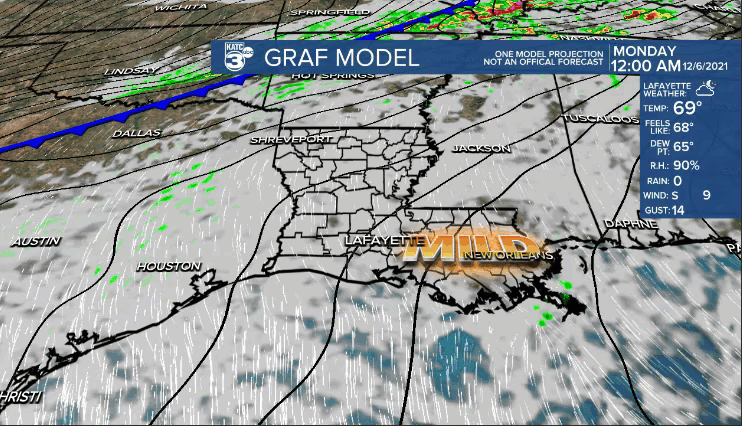
Conditions tonight will be mild and muggy as temperatures settle into the mid-upper 60s as clouds and moisture continue to build ahead of a cold front.
Temperatures will still reach the mid-upper 70s before the front arrives tomorrow.
Expect a line of showers and storms to push through during the middle parts of the day and into the afternoon.
SPC has us locked in for a low-end risk (level 1 out of 5) for severe weather.
Primary threat will be gusty winds and possibly some hail as the squall line moves in.
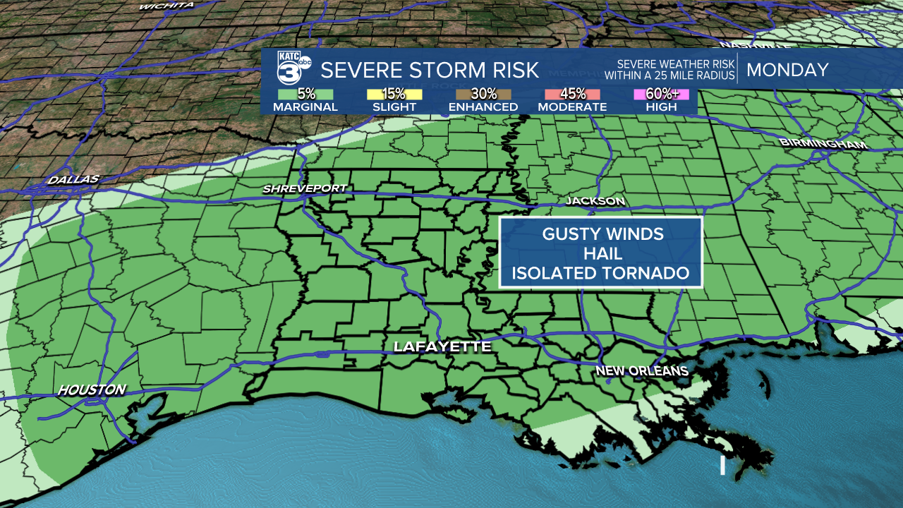
A brief, spin-up tornado can't be ruled out either.
Additionally, some of us could pick up around 1-2" of rainfall, but flooding won't really be much of a concern since we've been so dry and things will be moving along pretty quickly.

Temperatures will fall into the 60s by the latter half of Monday afternoon as winds pick up out of the northeast (Gusts 20-25 mph).
Turning chilly into Tuesday morning with readings in the upper 40s to lower 50s.
The stalled frontal boundary will look to remain in the northern gulf waters on Tuesday.
So, expect a cloudy and cool day with showers lurking around.
Temperatures will struggle to reach the mid-upper 50s Tuesday afternoon.

The boundary will try and lift north through the area on Wednesday.
Scattered showers/few storms will remain possible at least for the first half of the day.
Temperatures will make a run at the lower 70s if the front is able to lift far enough to the north.
Always a difficult temperature forecast when you have a front meandering around the area!
The front will eventually washout by the end of the week, and with southerly winds back in place, temperatures will push the upper 70s to lower 80s Thursday-Saturday.

Strong front will push through late Saturday into Sunday bringing back a winter chill to the region by the end of next weekend and into the first parts of the following week.
Have a great week!
