


A weak cool front will push through Acadiana overnight through Wednesday morning generating showers and a few storms, but will also bring lower humidity and slightly lower temperatures for the rest of the week.
Ahead of the front, scattered showers and storms should develop after midnight and sweep southeastward through the area toward daybreak Wednesday.
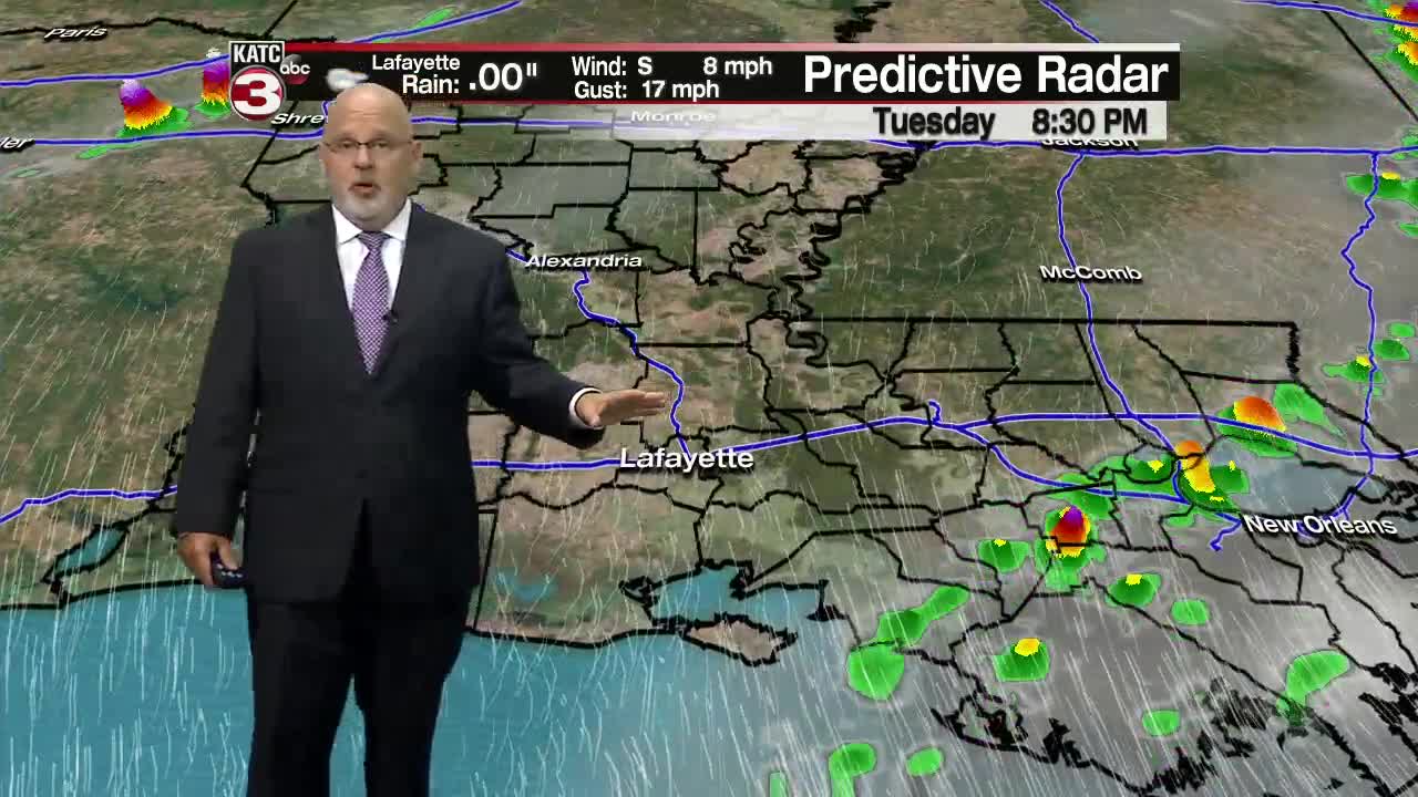
And while the Storm Prediction Center (SPC) does not have Acadiana hatched in for any severe weather threats, a few storms could be rather intense producing gusty winds and brief locally heavy downpours.
Rain chances should decrease early Wednesday morning with mostly cloudy skies early likely to become most sunny for the afternoon.
A nice breeze from the northwest will begin to usher lower dew points Wednesday afternoon, but temperatures will still manage to reach near 90 for an afternoon high.
Heat indices Wednesday will become a non-factor after reaching some of the highest levels so far this spring, with Tuesday afternoon readings reaching the 100-104F degree mark!
It will begin to feel even better into Wednesday evening as low temperatures head for the mid-60s by Thursday morning.
Sunny skies, low humidity and very pleasant weather is anticipated for Thursday and Friday with highs closer to the mid-upper 80s with pleasant overnight lows in the 60s.
The weekend will remain dry and mostly sunny, but daytime highs will moderate back into the lower 90s, although the humidity should remain tolerable.
It looks to get hotter into next week as a sub-tropical ridge of high pressure strengthens with high temperatures pushing from the lower 90s toward the mid-90s through mid-next week.
A few afternoon showers or storms will be possible (20% or less) toward the end of next week, but it appears that Acadiana will be in a rather drier and hotter than normal pattern well into the 4th week of June.
In the tropics, a minor sub-tropical low in the middle of the Atlantic and well east of Bermuda is unlikely to develop...and the rest of the tropics are quiet.
