


Another mild one out there today as high temperatures topped out in the middle 70s.

Clouds and mild conditions stick with us tonight as lows drop back into the upper 50s to lower 60s.
As was the case this morning, we will have to be on the lookout for some patchy to perhaps dense sea fog developing in spots.

You'll want to make sure to allow yourself some extra time out on the roadways first thing tomorrow morning.
Any fog that develops should begin to lift out of the area by mid-morning.
Afterwards, expect partly to mostly cloudy skies out there for our Friday, although some intervals of sun will definitely be possible by the afternoon.
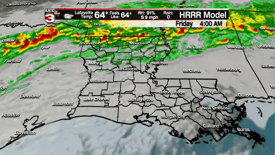
A sprinkle or two can't be ruled out as a frontal boundary remains stalled to our north, but nothing really of consequence.
Most of us will be staying dry.
Afternoon highs will be climbing into the middle 70s.

Dense fog will likely be an issue once again for late Friday night going into Saturday morning, so keep that in mind.
A ridge of high pressure will be building and taking hold in the Gulf of Mexico this weekend.
This will help to drive our temperatures into the upper 70s to near 80 degrees for both Saturday and Sunday as southwesterly flow gets established aloft and southerly winds remain in place at the surface .
Dew points will be sneaking up as well. In fact, they will likely approach the upper 60s for the weekend, so expect more of a muggy feel to the air.
Again, a few spotty rain chances will remain in the forecast through the weekend (20%), but all of the heavy rainfall totals will remain off to our north.
This long range model covers 10 days worth of rainfall across the deep south with a concentration of heavy rainfall along and north of the I-20 corridor:

Another front will approach the region on Monday and this one will have a better chance to push through the area.
Expect a round of showers and some thunderstorms for Monday as highs settle in a little cooler in the upper 60s to near 70 degrees.
The front may stall near the area and that would keep rain chances somewhat elevated for Tuesday.
Models continue to differ slightly on how long the rain lingers around for.
We're looking at yet another front arriving for mid-late next week and that should help to give way to some nicer conditions for the latter half of next week going into next weekend.
Continue to stay with the katc storm team for the very latest.
