


Acadiana's weather will shift to a drier and more comfortable pattern with plenty of sunshine likely for the rest of the week and into the weekend.

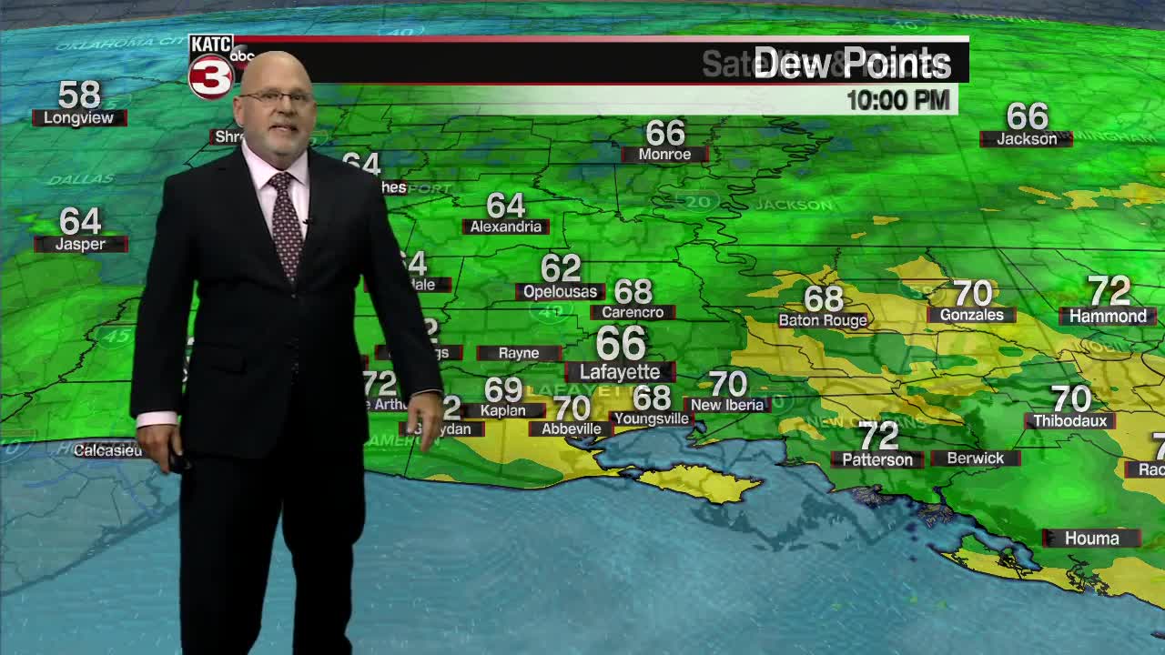
An upper level low in the Mid-Mississippi Valley will move slowly over the next several days and will provide a drier northwest flow aloft while helping to reduce our surface dew points making for lower humidity and more comfortable conditions.

In the days ahead, look for minimal to zero rain chances and lots of sunshine accompanied by seasonably warm afternoons in the mid-80s.
But at night, temperatures will be a little cooler (but not really cool) with lows by Tuesday morning dropping into the mid-60s.
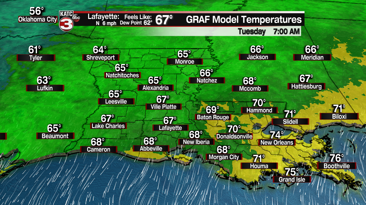
As the pattern changes little in the days ahead, overnight lows may ease closer to the lower to mid 60s...but overall our temperatures should be near the normal of 65° and 85°.

While the pattern should hold through the weekend, it appears that warmer temperatures and the chance of a few showers should be back by early next week.
See the KATC 10 Day Forecast for the latest.
Meanwhile, despite a long-lasting hurricane still hanging on in the North Atlantic, the tropics are quiet given the time of year.

Hurricane Sam with 90 mph winds will be winding down in the days ahead between Iceland and Greenland.

Elsewhere, a disturbance near the Southeastern Bahamas has a low, 10% chance of development over the next 5 days.
Climate Outlook:
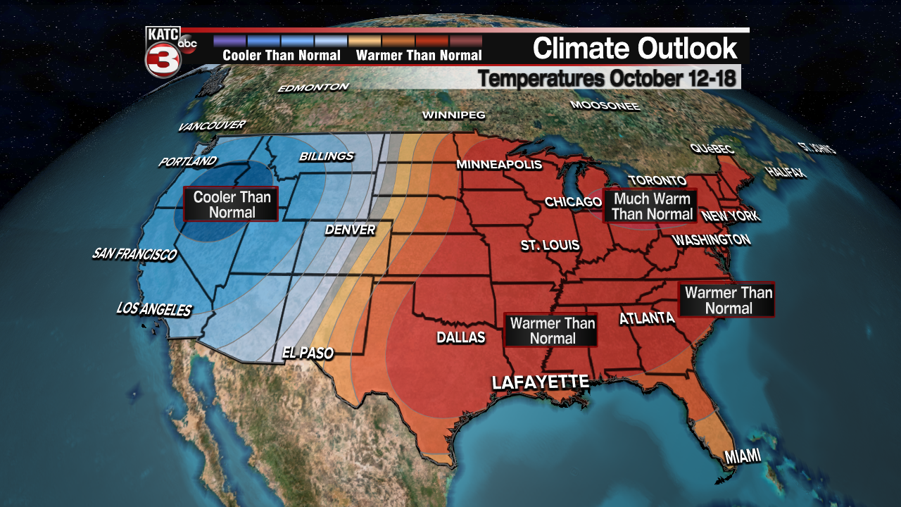
The longer-term temperature outlook for through the next week to two weeks looks rather bleak for any cool fronts with the Climate Prediction Center forecasting above normal temperatures for our region.

Meanwhile, there are no strong signals locally for above or below normal rainfall.
------------------------------------------------------------
Stay in touch with us anytime, anywhere.
To reach the newsroom or report a typo/correction, click HERE.
Sign up for newsletters emailed to your inbox. Select from these options: Breaking News, Evening News Headlines, Latest COVID-19 Headlines, Morning News Headlines, Special Offers
