We got to enjoy yet another beautiful day of weather across Acadiana.
Unfortunately, our little taste of fall is coming to an end.
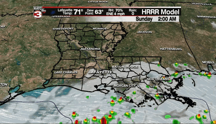
We'll start to transition to a more active and wetter pattern beginning tomorrow as tropical moisture surges northward from the Gulf in response to a disturbance that currently has a 90% chance of development into a depression or storm.
That feature will slowly trek through the SW Gulf and along the Texas coast in the coming days.
Regardless of any sort of development, rounds of tropical moisture will continue to be pumped into the area keeping rain chances elevated throughout the week.
Essentially, the steering currents will be rather weak, so the system will kind of take its time moving out of the area.
With that in mind, there will be a heavy rain/flooding threat with this system, so we'll have to watch it closely in the days ahead.
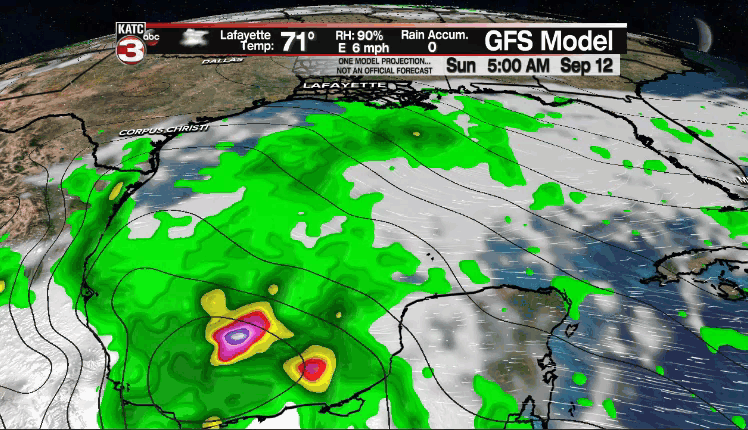
The GFS has been the most aggressive showing widespread 4-8+" of rain possible through next weekend.
The Euro is a little less, but keep in mind you can take these numbers and double them in certain spots.
Something we'll have to keep an eye on in the days ahead.
The NHC is monitoring three other areas in the tropical Atlantic, but none of those present a threat to Acadiana.
------------------------------------------------------------
Stay in touch with us anytime, anywhere.
To reach the newsroom or report a typo/correction, click HERE.
Sign up for newsletters emailed to your inbox. Select from these options: Breaking News, Evening News Headlines, Latest COVID-19 Headlines, Morning News Headlines, Special Offers
Follow us on Twitter
Like us on Facebook
Follow us on Instagram
Subscribe to our Youtube channel
