


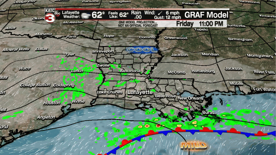
A cold front continues to move through the area this afternoon which is keeping isolated, light shower activity across the region.
Expect damp/misty conditions out there this evening, but nothing heavy.
Otherwise, considerable cloudiness will persist through the rest of the night as temperatures fall into the upper 50s.
That front will become nearly stationary in the Gulf heading into Saturday which could still help generate at least a few light sprinkles throughout the day.
Rain chances no better than 10-20%, however.
Otherwise, expect plenty of clouds as highs top out in the low-mid 60s.
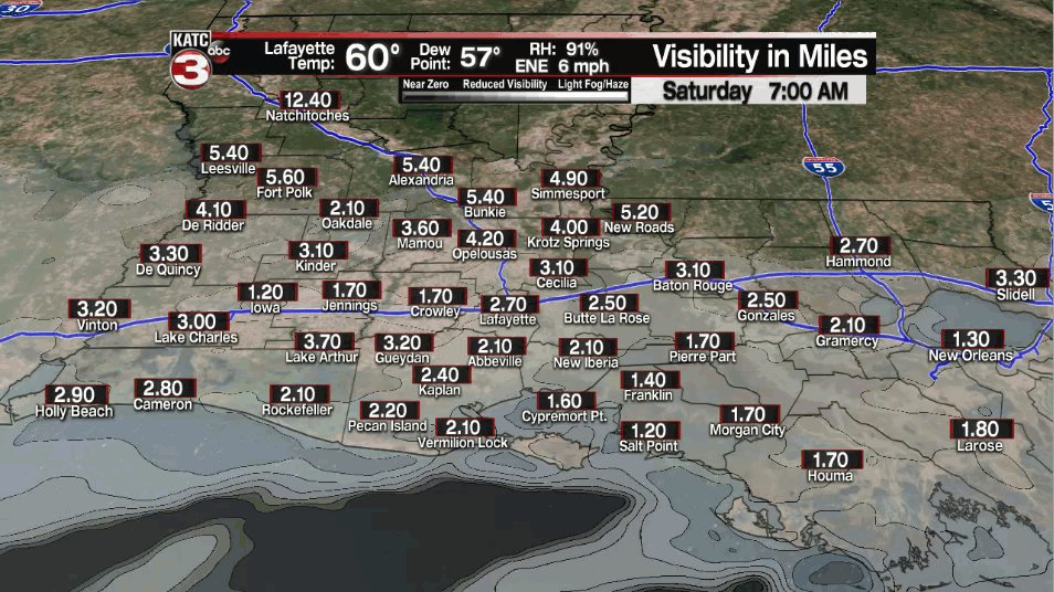
Patchy fog will be possible heading into Saturday night. The fog may be dense in spots.
Rain chances come up a bit (30%) heading into Saturday night/early Sunday morning as the front starts to lift back to the north as a warm front.
That will set the stage for a milder Sunday as temperatures climb back into the lower 70s under mostly cloudy skies.
Isolated rain chances will hover in the 20-30% range.
Our next storm system will start to approach heading into Monday, so expect breezy southerly winds to start to pick up.
Scattered showers and a few isolated storms will be possible throughout the day on Monday.
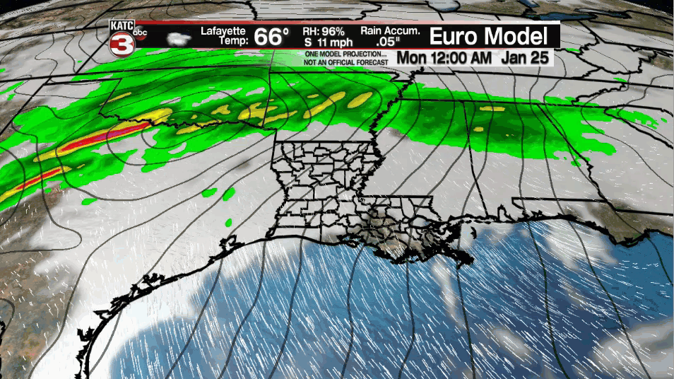
However, with the main upper-level energy and surface low expected to move a little farther off to our north, the severe threat for our area appears low at this time.
It will be another mild afternoon as temperatures push the low-mid 70s.
Temperatures back in the mid-upper 60s on Tuesday under mostly cloudy skies.
Next rain chances for next week appear to arrive late Tuesday/early Wednesday followed by quieter and cooler weather to round out next week.
Y'all have a great weekend!
