


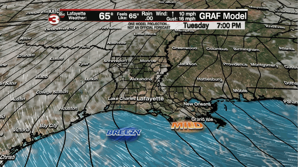
Breezy, more spring-like weather conditions remain in the forecast for Acadiana for the rest of this week.
Over the next several nights and days expect milder conditions at night with overnight lows rising into the low-mid 60s while daytime highs push the upper 70s to near 80°.
Skies will become mostly cloudy overnight toward daybreak with each day, through at least Saturday, marked with morning clouds giving way to intervals of afternoon sun.
Rain chances will stay 10% or less on any given day through Saturday.
Gusty southerly winds will become the mainstay, especially from mid-late morning through the afternoon hours, with sustained winds in the 15-25 mph range expected Wednesday along with gusts likely reaching 30-35 mph in spots.

Gusty southerly winds will continue into the weekend in response to a relatively tight pressure gradient between surface high pressure over the Southeastern U.S. and storminess rolling through the Rockies.
Eventually a stalling frontal boundary will approach the area late Sunday into Monday, likely sparking-off scattered showers and thunderstorms, some of which could be potentially severe, especially toward the northern part of the state.

Next week's pattern is looking much more unsettled with a series of disturbance aloft interacting with a nearly stationary frontal boundary that will be draped along or near the Gulf Coast.
The pattern certainly looks wetter into next week, and while flooding should not be a local concern, the there could be some low-end severe weather threats down the road.
Drier and certainly more chillier conditions may follow into next weekend...how cool is yet to be determined, but it should be noted that winter will be on full blast in the Rockies this week and into the weekend with several feet of snow possible not only in the mountainous areas, but at lower levels where significant populations are found such as Denver etc!
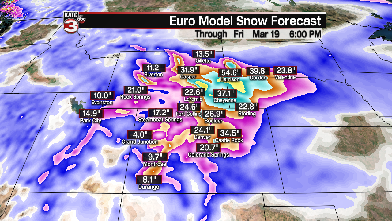
The models are forecasting huge snow accumulations from the Rockies to the High Plains over the next week or so!
------------------------------------------------------------
Stay in touch with us anytime, anywhere.
To reach the newsroom or report a typo/correction, click HERE.
Sign up for newsletters emailed to your inbox. Select from these options: Breaking News, Evening News Headlines, Latest COVID-19 Headlines, Morning News Headlines, Special Offers
