


After a brief respite from typical August heat and humidity, the reality of summer will gradually return to Acadiana this weekend, including the chance of scattered afternoon showers and thunderstorms.
The return of full summer conditions will be a gradual process as dew points slowly rising back into the mid-70s this weekend while daytime highs inch a little past 90° through Sunday.

The heat index will get back to near 100° Saturday, and likely increase to near 105° Sunday.

With atmospheric moisture gradually increasing along with the heat, there should be widely scattered afternoon showers and a few thunderstorms across the area this weekend.

Rain chance will be near 20-30% Saturday and near 30-40% Sunday.
The storms this weekend shouldn't be trouble-makers although any cells that pop-up will be very slow to move (especially Sunday), which could mean extremely localized rain amounts of several inches.
The weather pattern through next week screams a typical August pattern with the usual "partly cloudy, hot and humid conditions along with the chance of a few afternoon showers or thunderstorms"...
Rain chances next week and into the weekend should generally be in the 20-30% range, although there will be a day or two where the prospects of storms could be slightly higher.
In addition, it appears that the heat will gradually build into next week with highs eventually pushing the mid-90s along with heat indices rising commensurately to the 106-112° range.
See the KATC 10 Day Forecast for the latest.
Meanwhile in the tropics, the National Hurricane Center continues to monitor a couple of disturbances in the Tropical Atlantic.

Neither of these disturbances look to impact the Gulf of Mexico over the next week or more, however, it does appear that deeper tropical moisture and perhaps a few disturbances will follow in the 10-15 day period which could eventually manifest into a "Gulf System" with potential land impacts possible anywhere along the Gulf Coast.
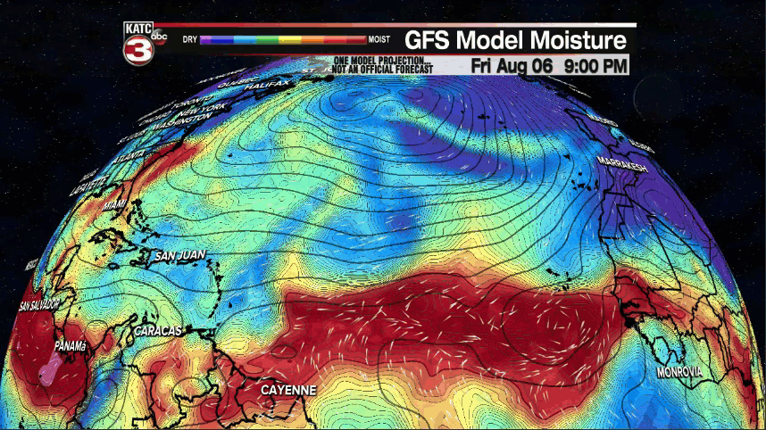
While long range models haven't been showing much in the way of developing systems, the trend to a more favorable environment for tropical development will likely show up in future model runs, especially into next week.

No worries for now, but the peak of the Louisiana hurricane season will be here in a little more than a week.
------------------------------------------------------------
Stay in touch with us anytime, anywhere.
To reach the newsroom or report a typo/correction, click HERE.
Sign up for newsletters emailed to your inbox. Select from these options: Breaking News, Evening News Headlines, Latest COVID-19 Headlines, Morning News Headlines, Special Offers
