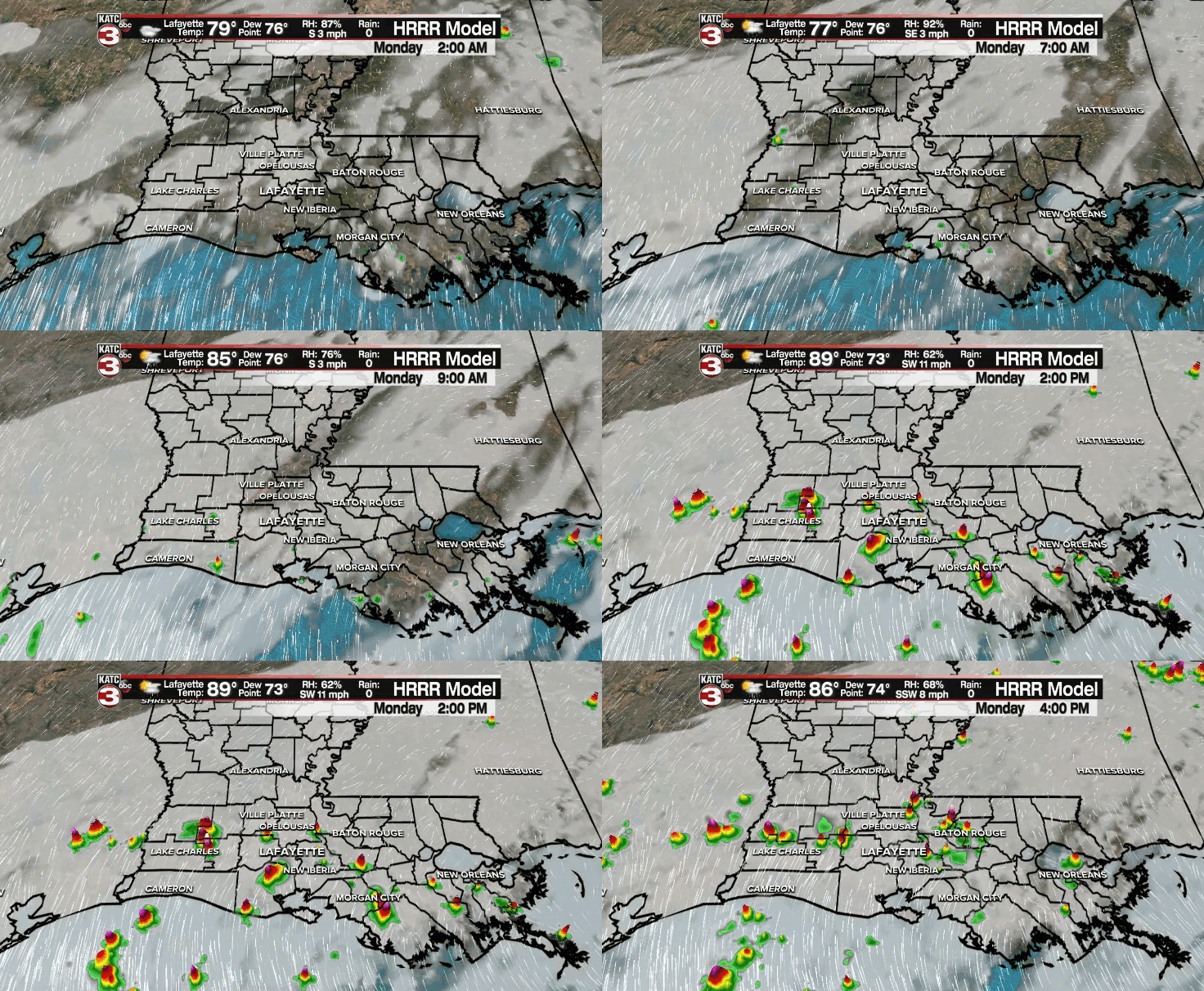
A risk of an early evening shower will sit at 10%.
Otherwise, expect fair to mostly clear skies through the overnight period as temperatures fall into the middle to upper 70s by morning.
We'll see a mixture of sun and clouds on our Monday with a few scattered showers and storms developing with the heating of the day.

Rain chances will settle into the 30-40% range.
Hot and humid otherwise with temperatures climbing right back into the lower 90s as heat indices approach the triple digits.
Similar set-up heading into mid-week, although rain chances will be closer to 20-30%.
A pretty routine August weather pattern will ensue through the rest of the work week.
Rain chances may increase slightly by the end of the week and into the following weekend simply due to more of a general weakness in the atmosphere taking shape.
Temperatures will run pretty much where they should be for this time of year over the next several days.
Afternoon highs will push the lower to middle 90s as overnight lows will settle into the mid-upper 70s.
Have a great week, y'all!
In the tropics:
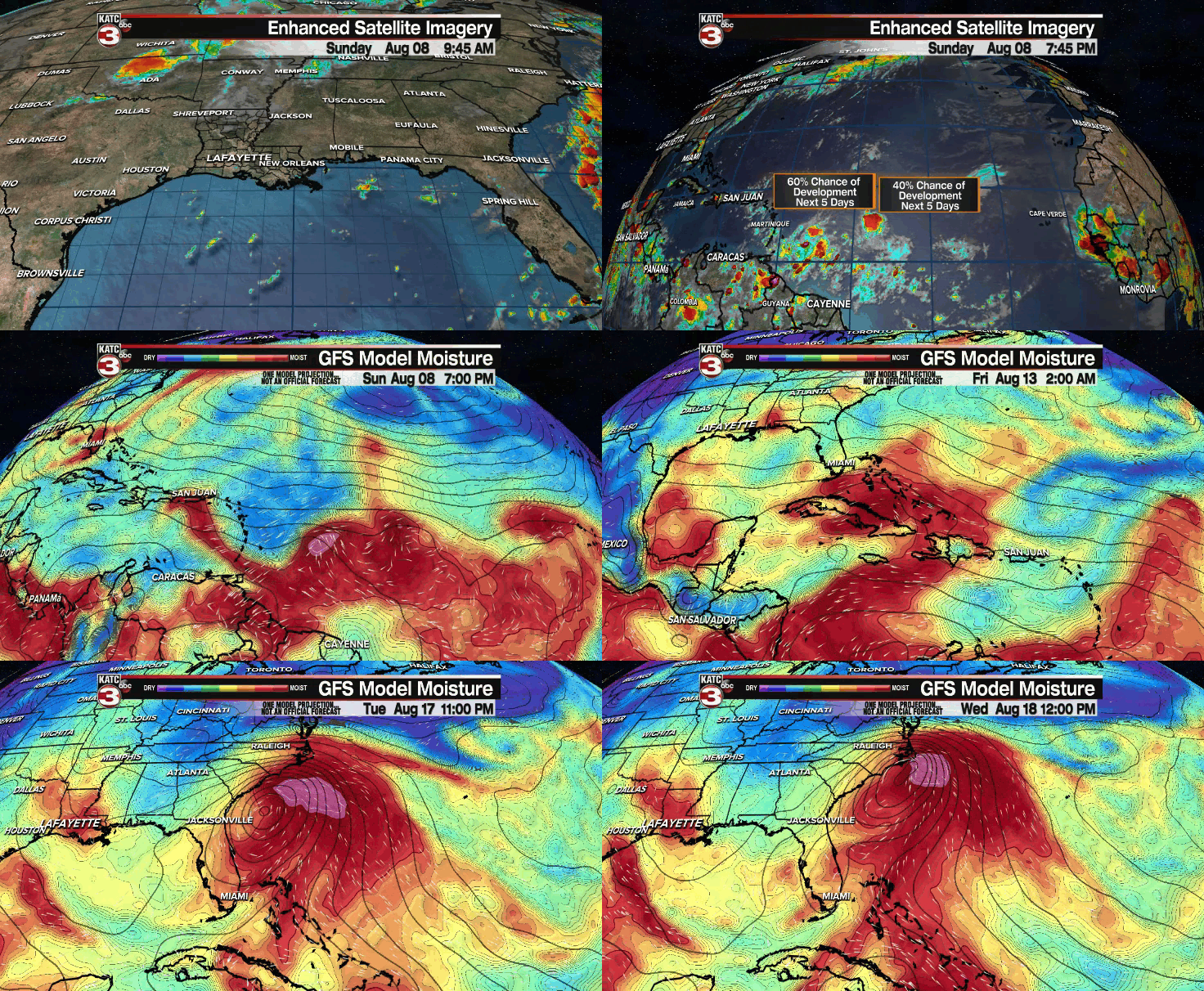
We continue to monitor two disturbances in the Atlantic, Invest 94L and 93L.
Both have a medium chance of development as they progress W/WNW with time.
94L has a slightly better chance to become a depression in the days ahead.
It'll likely track either right over or just north of the Caribbean islands in the short-term.

If it were to track directly over the islands, it would almost certainly stay a much weaker feature due to mountainous terrain in that area.
Regardless, models continue to hint at the moisture plume nearing the coast of Florida by the end of this week.
Beyond that point, confidence in the forecast begins to decrease (talking 7+ days out at that point).
Latest model runs continue to take whatever becomes of the system toward the east coast of the US due to a potential developing trough across the states.
That is certainly not set in stone since it's so far out, but we'll continue to keep an eye on things and at least at this point, nothing that we have to be overly worried about.
Stay with us for the latest.


