
Mother Nature is hitting the repeat button on the forecast the next couple days.
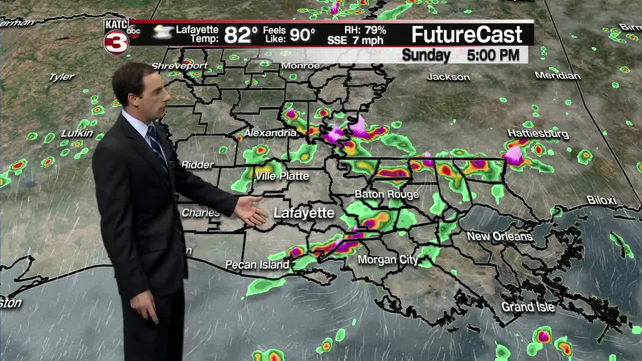
That means we will have another day with hit or miss showers/storms bubbling up throughout Acadiana on Sunday.
Like Saturday a couple of these downpours could produce a quick half inch to an inch of rain causing minor street flooding but the water should drain rapidly once it stops raining.
The only nice thing about the showers and extra clouds is it should hold temperatures in the upper 80s but it will still be humid with heat indices nearing the triple digits.
Similar story on Monday with a 40-50% chance for scattered showers during the late morning into the afternoon.
Rain chances increase to 60-70% on Tuesday, especially for the first half of the day, as a cool front slides from north to south through the area.
With the front expected to push out into the Gulf on Wednesday we should get a nice break from the summertime heat and humidity as highs will only top out in the mid 80s.
Thursday should be another comfortable day with highs in the mid to upper 80s with low humidity levels.
That said we will have a 20-30% chance for a few showers down along the coast as the cool front backs up as a stationary front and moves closer to the shoreline.
The stationary front is expect to stall near the coast on Friday and Saturday bumping rain chances back up to 40-50% both afternoons.

Due to the clouds and rain temperatures look to remain in the 80s for highs Friday through Sunday.
By the following week high pressure should swing over the region lowering our rain chances and turning the heat back up as highs return to the lower 90s with feel like temperatures climbing above the century mark again.
