


After a couple of days of persistent, slow-moving heavy thunderstorms, the weather for Acadiana should ease into a more typical summer pattern, but still with a good chance of scattered afternoon activity.

Rainfall totals over the last 36 hours have been as high as 7-10" across portions of St Landry, Evangeline and Allen Parishes.

Elsewhere most of us have received anywhere from 1-3" since Sunday.
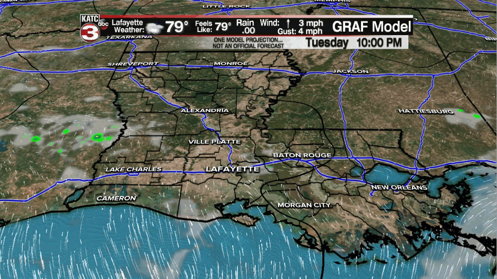
As a frontal trough sags and fizzles across our area, an elevated chance of showers and thunderstorms remains in the forecast for Acadiana, but activity should be limited to the late morning into the afternoon hours...more typical of what we see in the summertime.
Rain chances though will likely stay in the healthy 60% range Wednesday and Thursday with perhaps a subtle drop to the 30-40% range Friday into Saturday.
By Sunday another upper trough will approach from the north which could enhance our prospects for showers and storms into early next week.
And the longer-term outlook unfortunately shows deeper tropical moisture invading the Gulf of Mexico leaving much of the Gulf Coast and Acadiana vulnerable to high rain chances and perhaps some more flooding rain threats toward the end of next week.

As a result, the Climate Prediction Center Outlook through the first week of July keeps the pattern wet across the region with temperatures staying at or below normal (between 85-90°) thanks to the wet pattern.

See the KATC 10 Day Forecast for the latest.
Meanwhile in the tropics, per the National Hurricane Center, the tropical wave east of the Caribbean has a limited chance of development as it approaches a more hostile environment by Thursday. Chances of development have been lowered to 20%.

As mentioned earlier, we'll be watching for deeper tropical moisture in the Gulf in the 7-10 period...while our longer term models do not show any tropical development today, it does not mean that an organized system is completely out of the picture.

Current forecasts favor Eastern Pacific tropical development as the month ends into the first week of July.
------------------------------------------------------------
Stay in touch with us anytime, anywhere.
To reach the newsroom or report a typo/correction, click HERE.
Sign up for newsletters emailed to your inbox. Select from these options: Breaking News, Evening News Headlines, Latest COVID-19 Headlines, Morning News Headlines, Special Offers
