


Acadiana's weather will continue to edge closer to summer-like temperatures and humidity in the days ahead, but at least there should be a nice breeze.

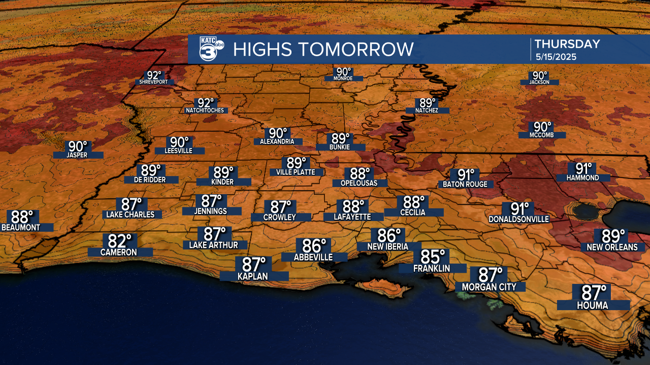
High pressure aloft over Mexico will advance toward the Gulf in the next couple of days should keep any significant rain chances at bay and allow for temperatures to begin nearing 90°.
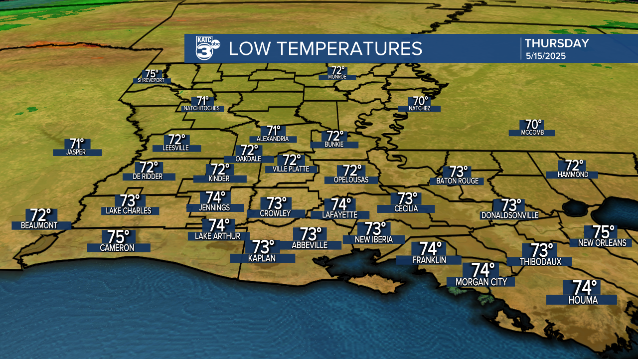
Night time/morning lows will be closer to more summer-like mid-70s.
And with higher dew points and humidity, expect the heat index to start getting into the mid-90s starting Thursday and continuing for the foreseeable future.

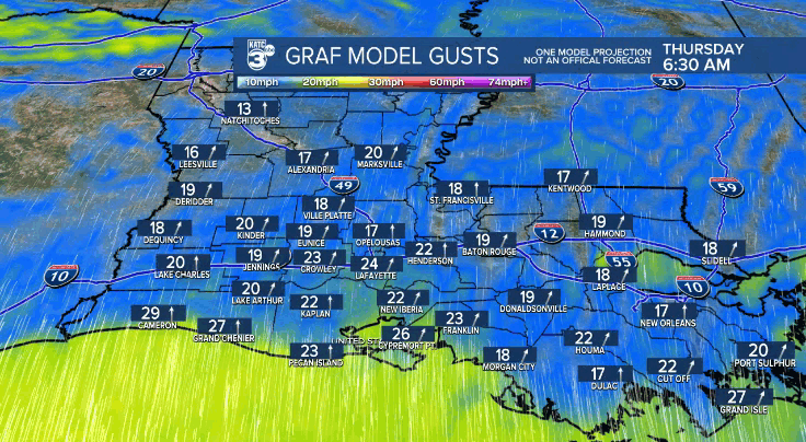
But with high pressure at the surface in the Eastern Gulf combined with low pressure "troughing" in the Plains, breezy southerly winds will continue with daytime gusts reaching the 25-30 mph range over the next few days.

And those lower levels winds up to the vicinity of 5,000 feet are also supplying our area with hazy skies thanks to smoke from wildfires in Mexico and Texas...more here:
The hazy, slightly smoky skies will likely stay in the region in the days ahead given not much change in our wind profiles this week.
Overall look for late night early morning clouds over the next few days to give way to afternoon sun.

The longer range outlook offers very little change until about mid-next week when some showers and a weakening frontal trough may move into the area.
For now though, the pattern looks mostly dry for a while.
See the KATC 10 Day Forecast for the latest.
