


If you just went about your day without looking at a calendar you'd be forgiven for not realizing that it was late September.
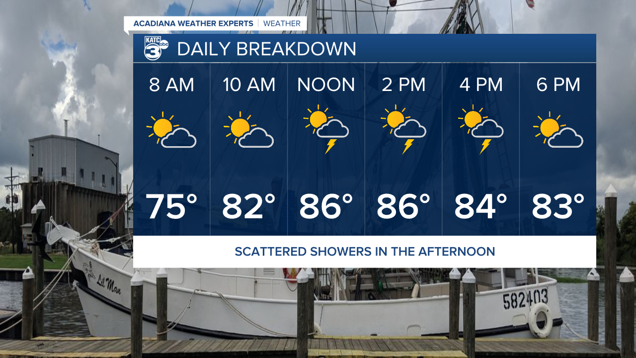
Not only will temperatures flirt with 90 with enough humidity to spike the heat index, but we may also be dealing with afternoon showers.
A few thunderstorms will be scattered across the area Monday afternoon which could help bring us some needed rain.
We'll keep this pattern for another few days before we finally get a front moving through the area later this week.
Showers will become more numerous Wednesday evening into Thursday with dry air finally sinking in by Friday.
Highs starting in the mid week will be in the mid 80s, and lows could finally get down into the mid 60s going into the weekend.
This batch of dry air should stick around for a little while and we'll have more comfortable conditions going into next week.

Gabrielle finally turned into a hurricane over the weekend and two waves behind it are showing signs of development behind the hurricane.
Neither system would be an issue for the Gulf and so far models continue to keep tropical weather in the Atlantic and out of the Gulf.
