


It's shaping up to be a busy forecast across Acadiana with a cold front bringing a series of showers and storms and the possibility of some severe weather.
Showers will be popping up through the day, with the window for isolated supercells developing opening in the mid morning and remaining open into the overnight hours.
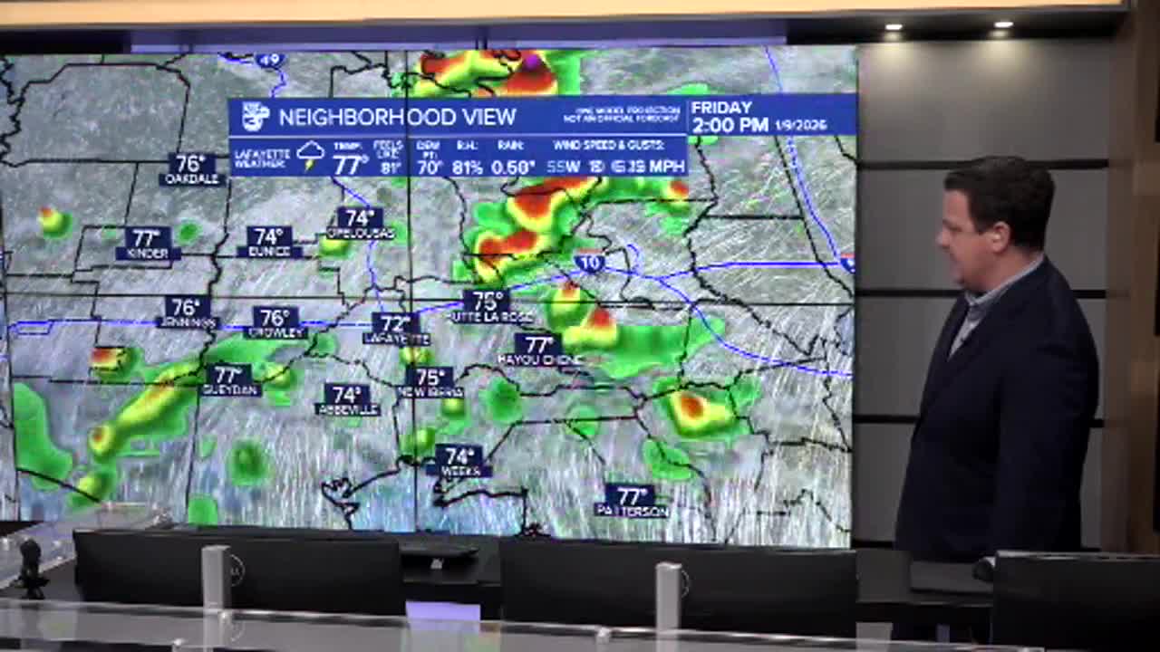
We may see more organized storms later in the time period with chances ramping up in the late afternoon and evening.
Severe weather will remain possible into the early morning hours of Saturday so we'll need to remain weather aware even as we go overnight.

Early morning guidance on Friday suggests the strongest dynamics will be just east of the Mississippi River with a spike in activity moving across the Northshore during the afternoon.
Friday morning's radar seems to suggest that there's a little extra juice in this region as well, but that doesn't remove Acadiana from the threat.
The stronger storms will be capable of producing pockets of damaging wind gusts and small hail.
Isolated tornadoes can't be ruled out either so we'll need to be mindful of a few spin ups both during the day and overnight.

The threat for flooding will be relatively low but we could still pick up a few inches of rain over the course of the next 24-48 hours as showers will linger into Saturday.
While the showers will continue into the weekend the severe threat should diminish in the early morning hours of Saturday and we'll just be left with some steady rain.
Showers will ease up through the day on Saturday but we won't get much sunshine until sometime on Sunday.
Temperatures will get chilly again and we'll see some cold morning to start next work week.
