

When it rains it pours, especially today.

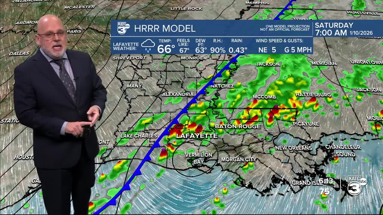
Storms started early this morning and have increased in intensity, and we will see that trend continue into the evening hours as a cold front approaches from the North-West. Currently we are all under a Slight Risk of severe weather (Level 2/5) per the Storm Prediction Center.
Primary threats include the chance of damaging wind and hail with a secondary threat being the chance of an isolated tornado, but the dynamics to support that diminish for much of Acadiana overnight, but an isolated tornado cannot be completely ruled out.


All available models have to some degree struggled with accurate representation of the storms placement/timing, so time ranges best explain when to expect severity would be through the evening hours, tomorrow morning early will continue to have a chance of storms with some lingering isolated severity potential.


After storms clear out late Saturday morning/early afternoon, much more mild weather will settle in and temperatures will begin to drop.
Be mindful of breezy conditions as colder air filters into the area.


