


Showers and storms will be back into the forecast for Acadiana by late Wednesday, and especially Wednesday night into Thursday.
The Storm Prediction Center has portions of Acadiana hatched in for a marginal to slight risk of a few severe storms that could be capable of producing damaging winds and/or a few isolated tornadoes...particularly northward into Central and Northern Louisiana Wednesday.

For Acadiana, the stronger storm risk looks may arrive during the overnight hours, but the risk of severe storms should diminish into Thursday, but is not zero at this time.

Per the Euro, additional rain and storms may continue into Thursday into Friday and portions of this weekend, with multi-inch rain accumulations looking more likely toward eastern and southeastern Louisiana but nonetheless quite impressive for portions of Acadiana too.

Some localized flooding will be possible if this scenario plays out...but we'll have to look for model consistency moving forward, so as always, the forecast is subject to change.
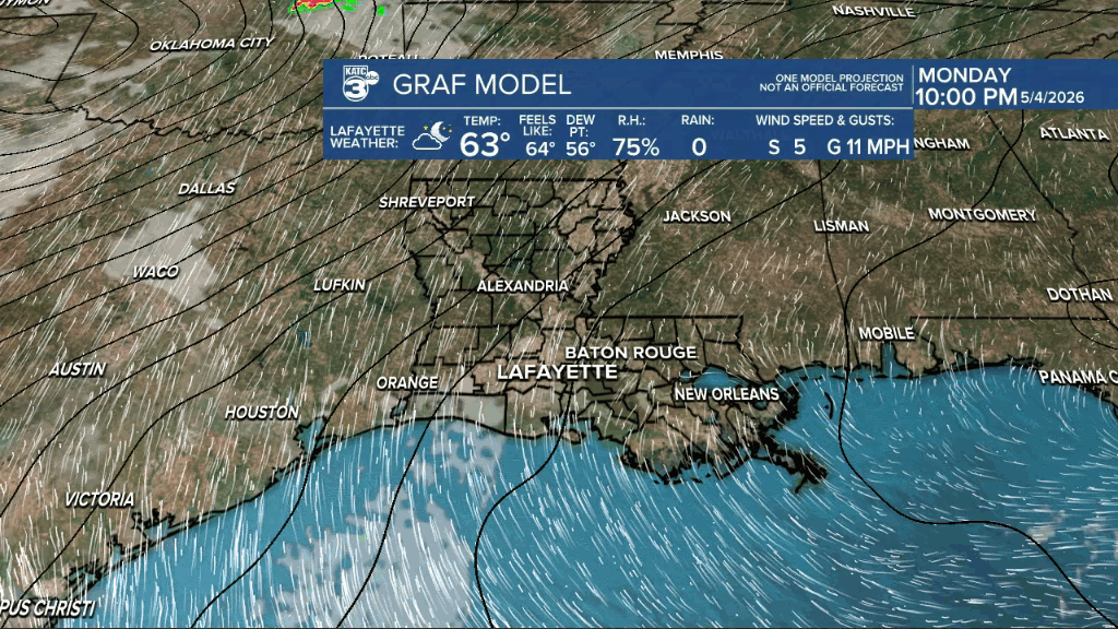
In the near term, look for partly cloudy and milder conditions overnight through Tuesday morning with lows closer to the mid-60s.
Partly to mostly cloudy skies are anticipated Tuesday with temperatures getting back to near normal in the lower 80s for the afternoon.
Warmer and more humid conditions are expect Tuesday night into Wednesday morning with lows closer to the low-mid 70s.

Wednesday should be mostly a dry, breezy and quite warm with highs well into the mid-80s.
Storms enter the forecast later in the day Wednesday (currently near 20-30%) with increasing chances Wednesday night and those chances staying elevated Wednesday night through at least Friday, and perhaps portions of the weekend.
See the KATC 10 Day Forecast for the latest.
