

A cloudy start to your Thursday as warm, moist air is moving back in. Skies are expected to stay mostly cloudy today, with windy conditions kicking in. A deep trough to our west will send individual disturbances through the region over the next few days keeping the chance for rain high, with heavy downpours possible. This is good news as we're in desperate need of rainfall, but too much of a good thing can bring problems too.

As the first low ejects from the west, we're expecting rain to develop this morning with thunderstorms firing up to our west. All of this will march eastward today and tonight. Ahead of the rain, winds will blow in from the southeast at 20-25 mph with gusts up to 40mph. A Wind advisory is in effect. Temperatures are expected to be in the upper 60s.

As storms line up, the main concern is if these storms start developing and rolling over the same areas. Some models are showing this trend, and there's a possibility of some extreme rainfall totals. On average, most of us will see at least two inches of rain between now and Sunday, but where the storms "train" over the same area, over four inches of rain is likely. The EURO model above is the most likely outcome, but our GRAF model (below) is picking up on "training" storms. Although not a likely scenario, a "training" event is certainly possible, and extreme totals can't be ruled out.

There's also a severe weather component to this system. With veering winds with height, damaging winds and tornadoes are a threat. These storms are going to need some heat at the surface to really get up to severe status, but cloud cover cloud inhibit some of that warming. The best chance for stronger storms will be over Texas and western Louisiana.

Rain will continue overnight with strong storms possible, with locally heavy rain. Temperatures will hold steady in the mid to upper 60s tonight. Rain and storms will stay likely into Friday with highs in the mid to upper 70s. Rain will ease by Friday afternoon and evening. The cold front coming in from the west will slow to a crawl keeping us in the warm sector into Saturday.
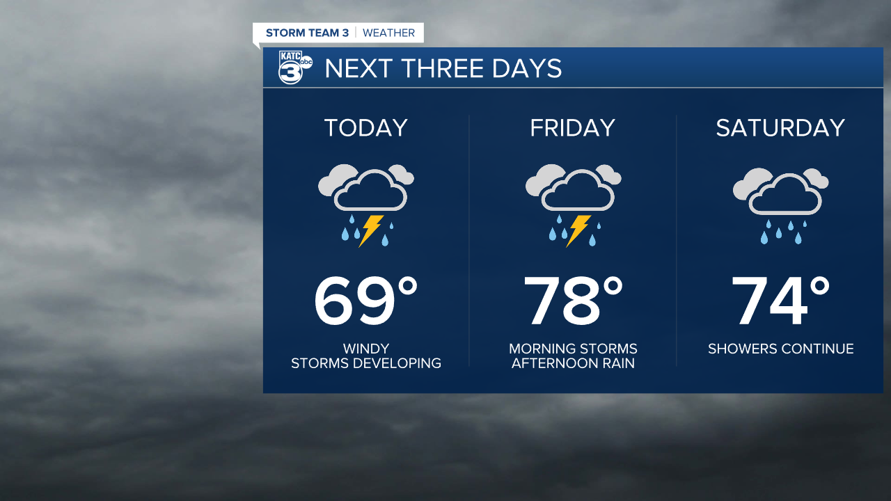
Over the weekend, a couple of weaker disturbances will drift across the area, keeping rain in the forecast. Highs Saturday and Sunday will be in the lower 70s. The front finally kicks eastward by Monday with some drier air and slightly cooler temperatures.
