

Although Acadiana will continue to see highs close to the mid-90s most of this week, the humidity will remain tolerable, and there could be a weak front on the way for the beginning of our Labor Day weekend.
Drier air has taken up residence in our part of the world thanks to a frontal trough that has advanced into the Gulf, so even though we continue to push highs in the mid-90s, while the dew points (in the lower 70s) and consequently the humidity, has not been at typical August levels.

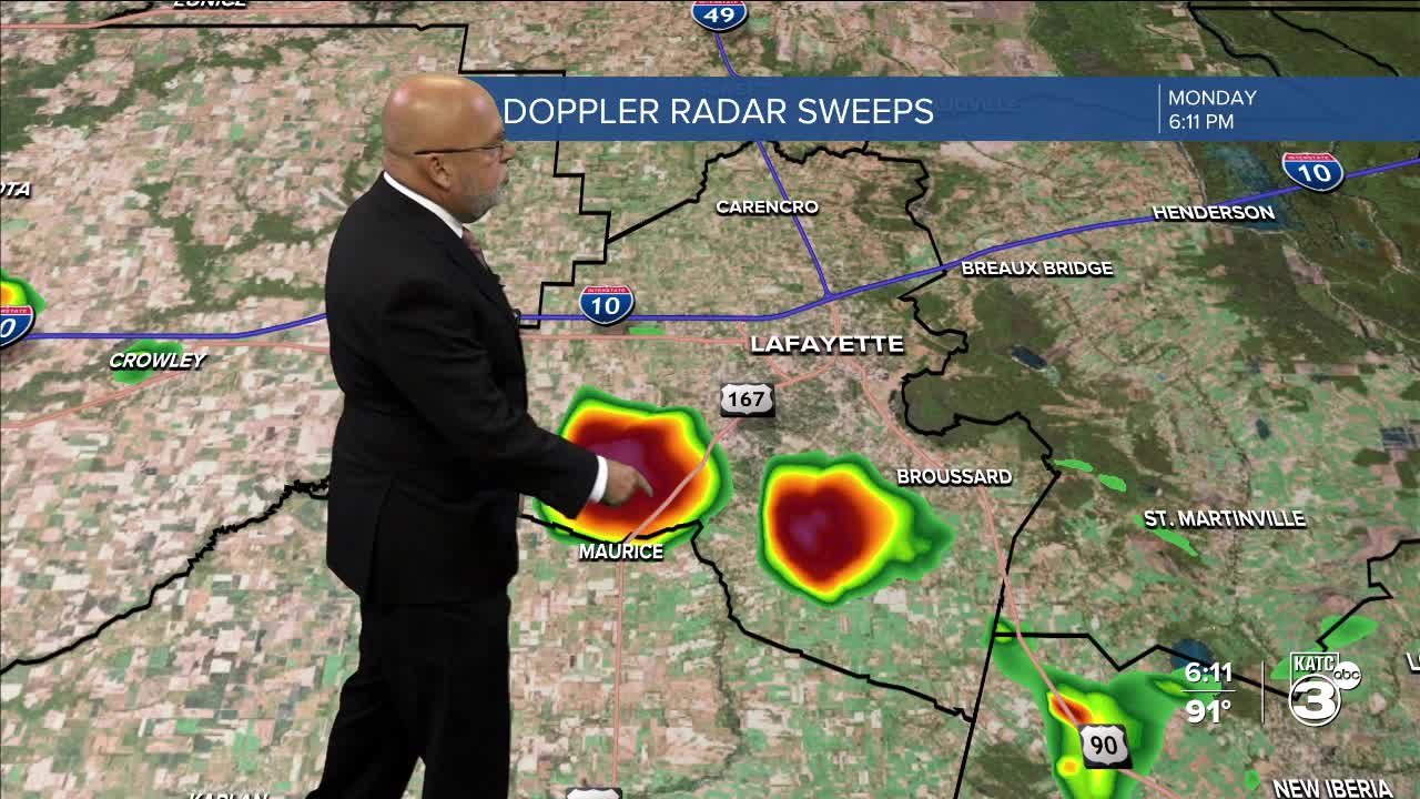
Much the same could be said for the days ahead with mostly sunny to partly cloudy skies through Thursday with rain chances remaining near 5% Tuesday and Wednesday, and perhaps 10% Thursday.
By Friday a frontal trough will move into the region allowing for a round or two of scattered showers and thunderstorms later Friday ending early Saturday.

And with any luck, this could set us up for highs this weekend closer to the mid-upper 80s (accompanied by more pleasant humidity for a few days), while overnight lows slide closer to 70°, which means perhaps mid-upper 60s for outlying areas, and especially the northern Acadiana parishes by Sunday morning.
But do not get your hopes up too high, as the GFS model hangs the front up over us (which would lead to better rain chances), while the Euro has been consistently more progressive...and by model performance alone over the last 4-5 months, we'll stick with the Euro for our guidance and Acadiana's 10 Day Forecast.
Although there's a little activity in the Atlantic tropics, the Northern Gulf looks clear of any potential activity through at least the first week of September...and that's a good thing!
My latest tropical brief below:
Finally today is the 8 year anniversary of historical Hurricane Harvey making landfall as a Cat 4 storm in 2007...details below:
