


We've reached the period of the year where the forecast seems like a broken record. Hot, humid, and scattered thunderstorms. Usually, there's only two things that can break this cycle of weather boredom...a cold front, which isn't likely during the month of July, except perhaps a stalling front north of us. But that doesn't change the forecast much. The other scenario would be a hurricane. And we definitely don't want that. Fortunately, there's not much tropical activity right now.
So, yeah. The pattern we've been stuck in for well over a month will continue at least through the weekend, and most likely next week too.
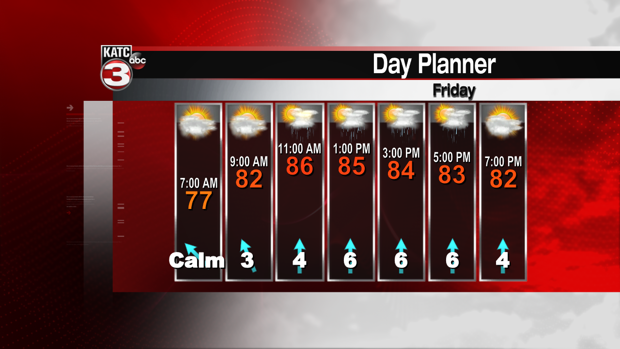
Expect temperatures today to reach the upper 80s to near 90. Clouds will develop, with scattered showers and storms following. If you need to get outside work done over the next few days, the morning time period is going to be your best bet. There might be a window for outside stuff during the evening, but over the past few days, some storms have lingered past sunset.

To plan, it's best to have the StormTeam 3 weather app on hand. It's better to keep an eye on the radar, as forecasting rain for a particular area will be tough. But once the storms get going, we can get a pretty good indication on which way they'll move, and how much rain will fall. So focusing on the radar will give you better results than the automated rain chances put out by the app itself.

There will be a front stalling just to our north toward the end of the weekend. So these scattered rains are expected through the early part of next week. At least we don't have to worry about any tropical weather for a while.
