


Even though the weekend started stormy, we had a strong finish with lots of sunshine and pleasant temperatures for much of Saturday and Sunday. As high pressure exits the area and a front approaches from the west, warm conditions are favorable today with humidity gradually increasing.
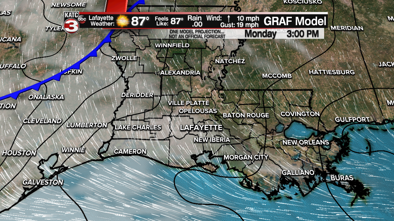
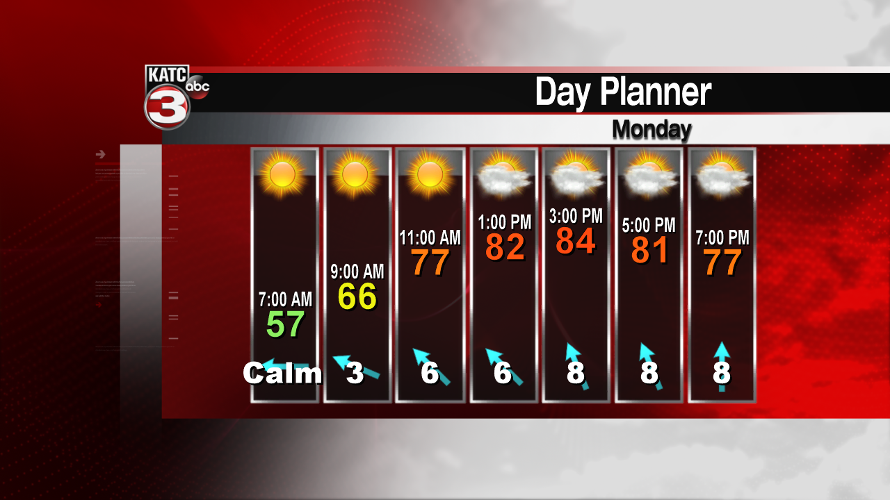
Southerly winds will prevail by this afternoon. Highs are expected to reach the low to mid 80s, well above normal for this time of year. Skies will start out sunny, then clouds will mix in by this afternoon. Overnight, southerly winds will keep skies partly to mostly cloudy. Lows won't be as cool, as temperatures should fall into the 60s.
A cold front will approach the region by Tuesday. This should get the rain chances going fairly early. We're generally expected scattered showers and thunderstorms. Severe weather isn't expected. Highs will remain in the 70s because of rain and cloud cover.

By Wednesday, the front will retreat northward. With more upper level support, showers and thunderstorms are likely again. But stronger storms will be possible. Highs for the mid week will remain in the 70s. Unsettled weather should stick around for the remainder of the week, with scattered showers and storms possible through Friday. By the weekend, we'll see a stronger cold front, that should clear out the rain for the second half of the weekend into early next week.
