


Acadiana will continue to see spring-like temperatures into the weekend, but a cold front arriving late Saturday will bring us back to a winter chill into early next week.
In the near term, expect breezy and mild conditions overnight into Thursday morning with lows in the mid-upper 60s...normal for highs this time of year!

The breeze will keep any fog at bay, or more like elevated cloud cover overnight.
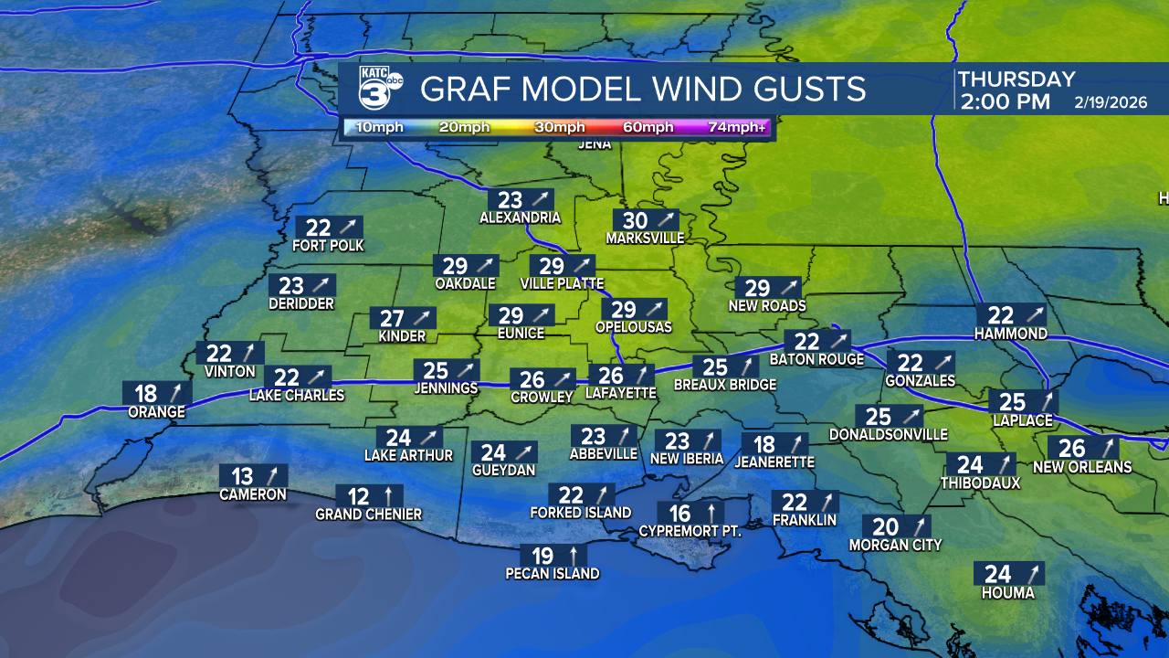
Thursday will be another breezy and warm day with plenty of clouds to start followed by intervals of sun into the afternoon.

Highs will top out near 80° accompanied by gusty south to southwest winds near 15-20 mph with gusts up to 25-30 mph possible, mainly during the midday hours.
Rain chances stay slim, near 10% or less Thursday but spotty showers and some patchy drizzle/mist will become a little more likely (20-30%) into Thursday night and Friday.

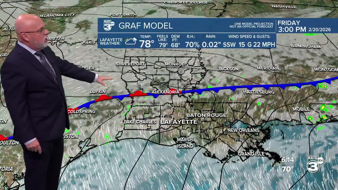
Expect spring-like temperatures to continue Friday with highs in the lower 80s again Friday and the upper 70s Saturday.
A cool front may bring a few showers (30%) with it as it passes through the region Saturday afternoon/evening, but we're not expecting any storms at this time.
It will turn breezy and sharply cooler Saturday night into Sunday, with more winter-like temperatures for a few days.
You may want to hold off on any spring planting this weekend as the coldest air, which arrives Monday, could result in readings closer to the low-mid 30s with a lightg frost possible in spots for Tuesday morning.

Temperatures will "spring-back" later next week...see the KATC 10 Day Forecast for the latest.
