


Acadiana will continue to experience mild, spring-like conditions through the entirety of this Christmas week, but a cold front is expected to bring more seasonably chilly conditions by Sunday evening into early next week.
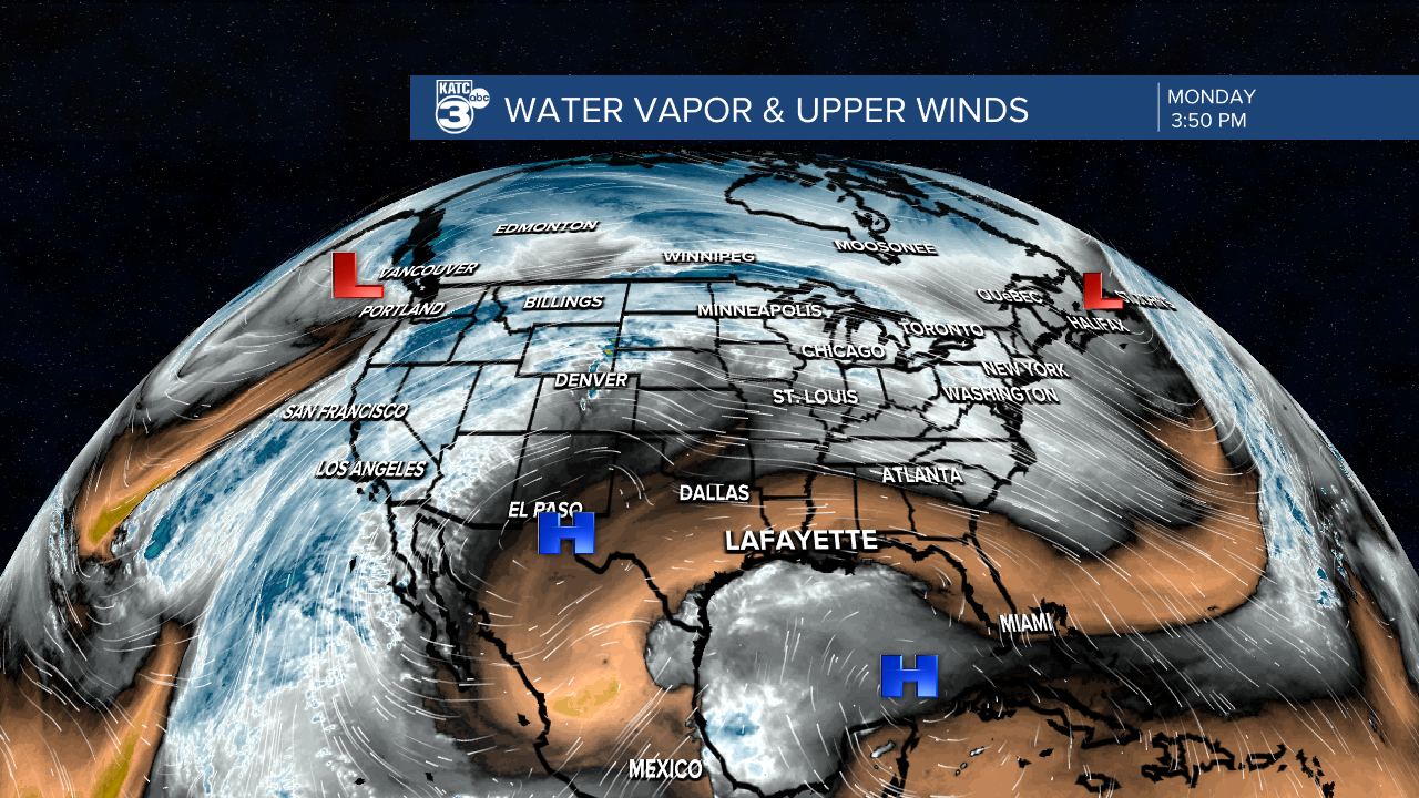
Overall our pattern remains a stagnant one, with surface high pressure to the east accompanied by high pressure aloft spanning across the Gulf.
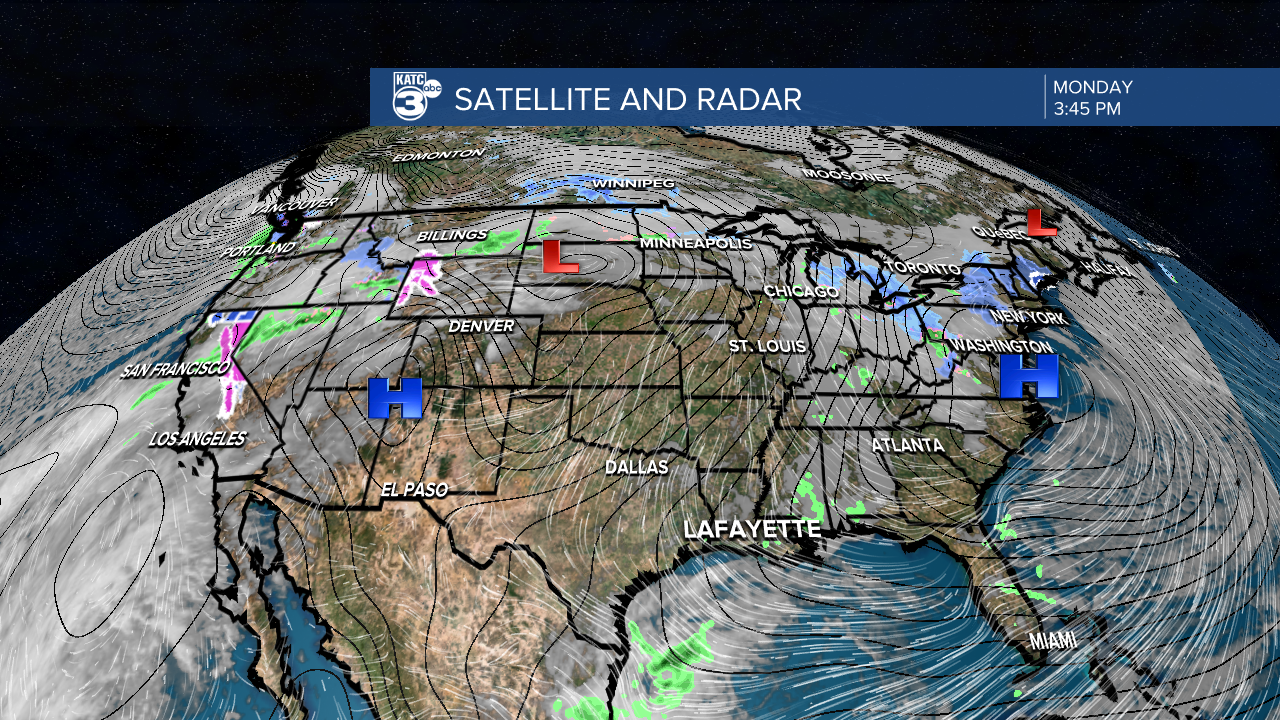
The pattern also remains conducive for late night/early morning fog development with a Dense Fog Advisory in effect for portions of Acadiana (as of Monday afternoon).

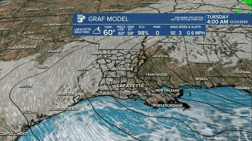
The latest GRAF Model favors western sections of Acadiana for the fog tonight/Tuesday morning, and our entire area tomorrow night through Wednesday morning.

Looks like assistance from "Rudolph" may be required for Christmas Eve too given the ongoing mild and humid pattern!
Morning fog will probably be in the forecast into the weekend as well.
While there's plenty of surface humidity of late, the upper atmosphere is expected to become a little drier with stronger high pressure in place...but an isolated pop-up shower (at 10% or less) will be possible on any given day through Saturday.
There's finally a change on the horizon with a front expected by late Sunday.
This front may bring a few showers with it, but do not expect much in the way of significant rainfall.
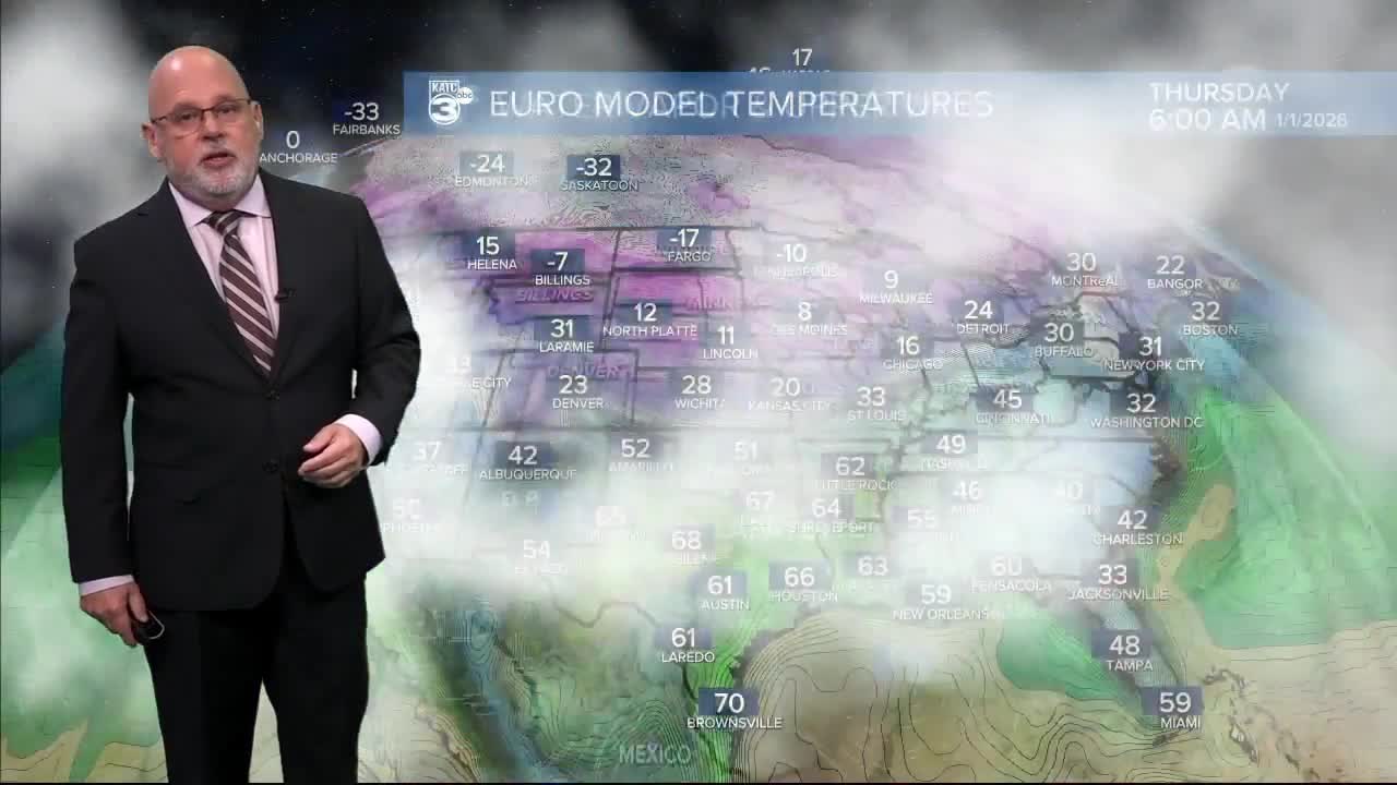
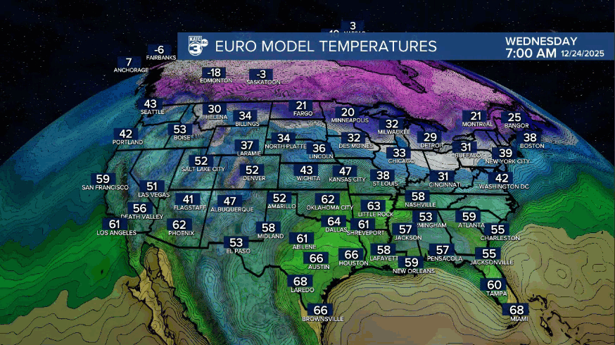
Meanwhile, Acadiana's temperatures will dip down to more winter-like readings early-mid next week with lows dropping closer to the low-mid 30s for a few mornings.
Milder temperatures should begin to return to the area around the New Year's Day and likely continue through much of the first week of January per the outlook from the Climate Prediction Center.

See the KATC 10 Day Forecast for the latest.
