


The weather pattern will take it's first spring break of the year for Acadiana with daily highs reaching the upper 70s to near 80° until a front arrives by the weekend.

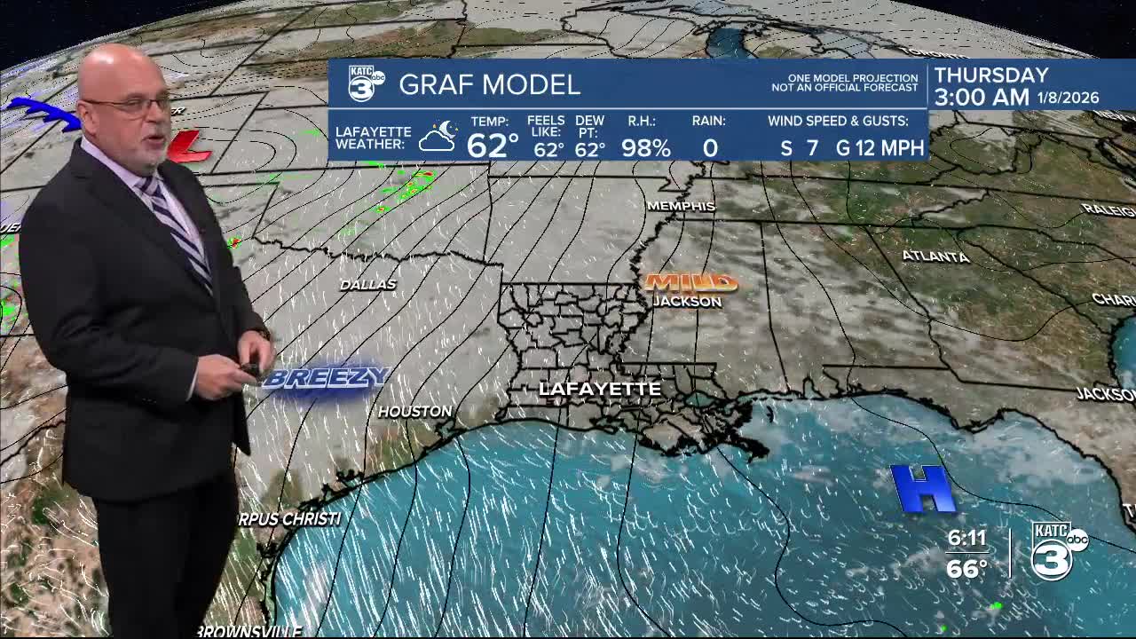
In the near term, it will be milder tonight courtesy of southerly winds, with temperatures holding in the upper 50s.

Areas of fog are expected to develop overnight and toward Tuesday morning especially across the coastal parishes.

As of this writing, a Dense Fog Advisory is in effect for portions of Acadiana, but may expand for the entire area by morning based on trends later into the night.

The signal for more widespread fog is stronger for tomorrow night into Wednesday morning...and this scenario may play out for the rest of the week.
Tuesday will be the start of spring-like afternoon temperatures reaching the upper 70s in spite of mostly cloudy skies.

Breezy southwesterly winds will continue to usher in higher humidity and should lead to milder conditions Tuesday night into Wednesday morning.

Chances of measurable precipitation should stay minimal, but with Gulf moisture in the area, a few light showers and periods of misty sprinkles at night will be possible...otherwise, rain chances should stay near 10% through Wednesday, and perhaps near 20% Thursday.
Change will be on the way Friday and beyond as a cold front plows through the area late Friday night.

Showers and a few storms will be possible Friday, with higher chances of storms expected into Friday night, ending early Saturday morning.

There may be a low-end severe weather threat with this front per the Storm Prediction Center's 5 day outlook, but the primary threat should it develop, is expected to be mostly northeast of Acadiana.
As for rainfall, it's still to early to guesstimate totals for Friday into Saturday, but with some storms possible, a few hotter spots may catch more than an inch...and for most of us probably less, but we'll have a better feel for this later this week.

Thereafter the weather pattern looks a little more unsettled for a few days with temperatures cooling back to near normal for January with highs mostly in the upper 50s to lower 60s, with most nights in the 40s, and a few in the 30s...but above freezing.
See the KATC 10 Day Forecast for the latest.
