


Acadiana has entered the "soak, rinse, and repeat cycle" with disturbances sparking scattered showers and locally heavy thunderstorms today and most of the days ahead through next week.
There is expected to be very little change in the overall upper pattern which will serve up disturbances in the sub-tropical jet stream that will interact with persistent Gulf moisture.

As a result, Acadiana and much of Louisiana remains hatched in by the Weather Prediction Center for a marginal to slight risk of excessive rainfall through the Sunday forecast period.

No particular day looks to be a washout, but high chances stay in the forecast for the daily (and or night time) risk of showers and thunderstorms.
We can handle an inch or two per day, but after repeated days the risk of localized flooding will most probably increase into this weekend...especially on days where storms are slow-moving.

In the next 48 hours both the HRRR and GRAF models indicate rain totals generally of 1-2" but isolated areas may reach 3-5". This type of forecast will likely repeat for days.

As the pattern continues, rain totals through the next 7 days will likely be in the 4-8" range for Acadiana.
Isolated areas that may receive more than 10" over the next week...and these numbers could go much higher given the pattern will continue for the bulk of the next 10 days.

A significant change in this pattern may not arrive until we near June!
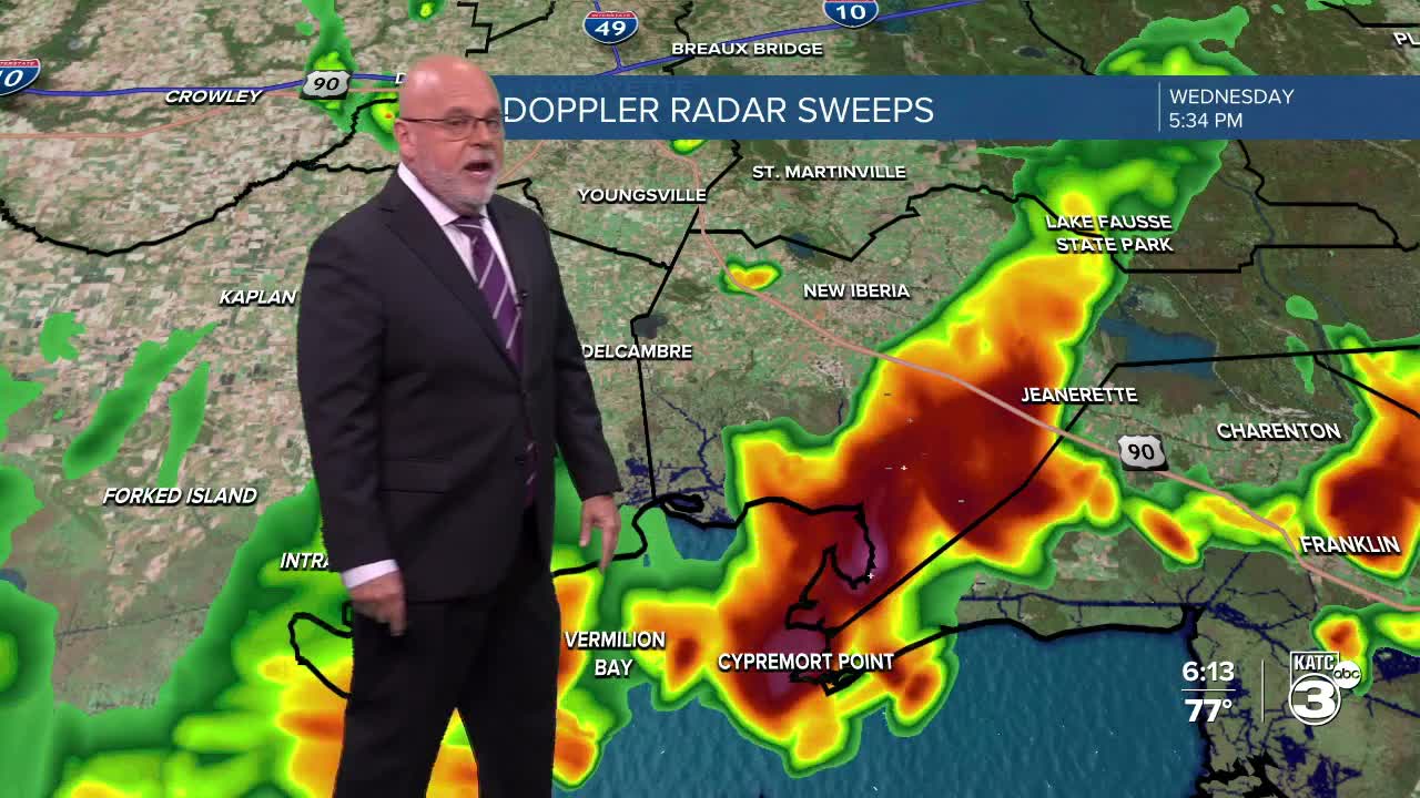
See the KATC 10 Day Forecast and Power Doppler 3 for the latest.
