


A cool front pushing southward through the area will increase the chances for rain for Labor Day. This front is expected to stall over the area, and eventually wash out by the middle part of the week. Rain chances will pick up today, and stay elevated into the mid week, as tropical moisture pushes northward out of the Gulf of Mexico.
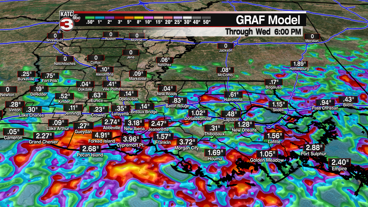
This front will act as the focal point for lift, and a tropical disturbance near the Yucatan will provide the moisture. It appears any development of tropical weather over the Gulf will be slow because of higher wind shear. Forecast models indicate more of an northeastward movement toward Florida. The NHC still only putting a 30% chance for any development over the next five days. Better chances for development exist if the system crosses over into the Atlantic by the weekend. Heavier rain totals are forecast for the southeast through Saturday.

Another, stronger front should clear everything out of the way by the latter part of the week, and some drier, and perhaps cooler air will filter in for the weekend. Rain chances by the end of the week will drop to near zero. Temperatures at night could drop into the 60s!
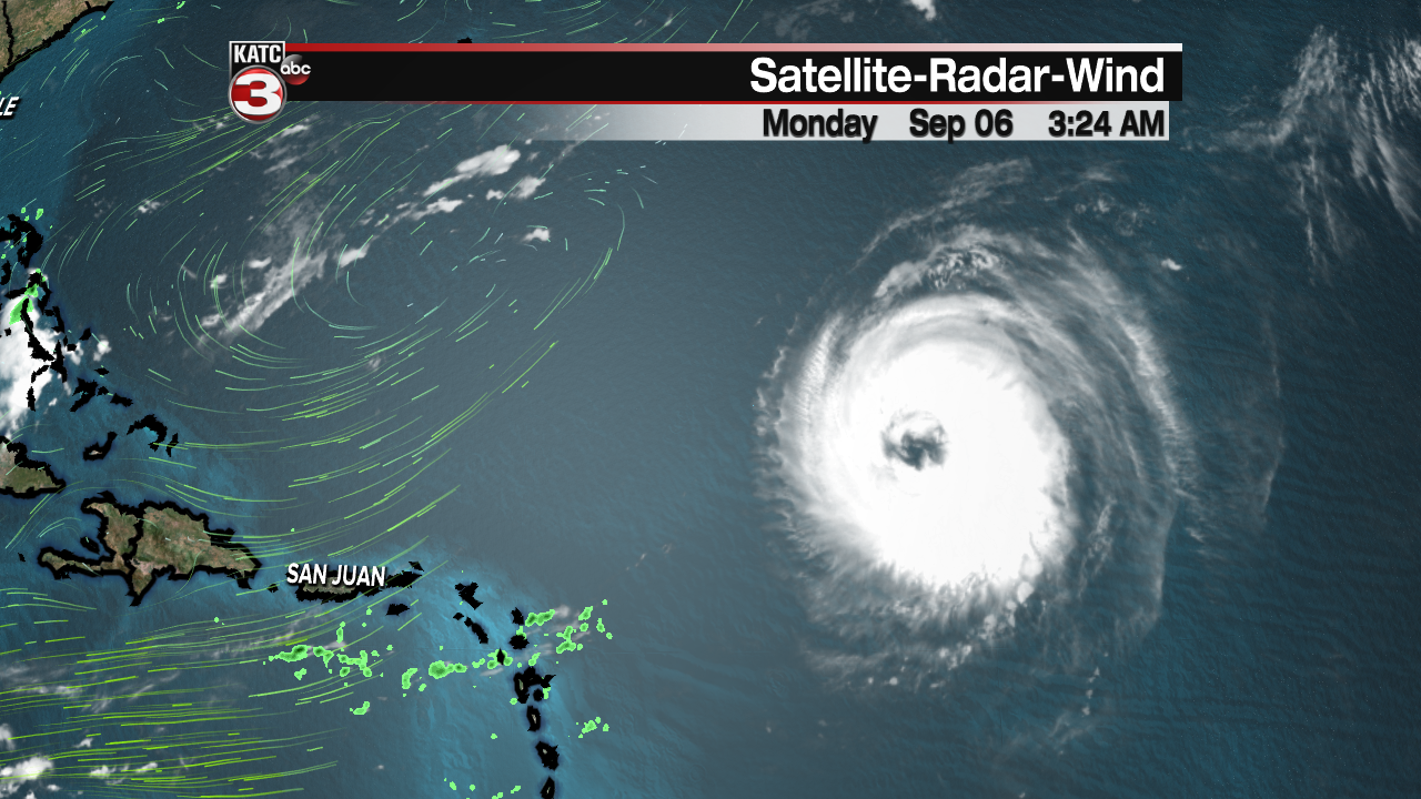
Other tropical weather of note, Hurricane Larry will continue to churn as a major hurricane in the Atlantic. A gradual turn northward should spare the east coast, but Bermuda is on the western edge of the forecast cone and should be preparing, just in case.
