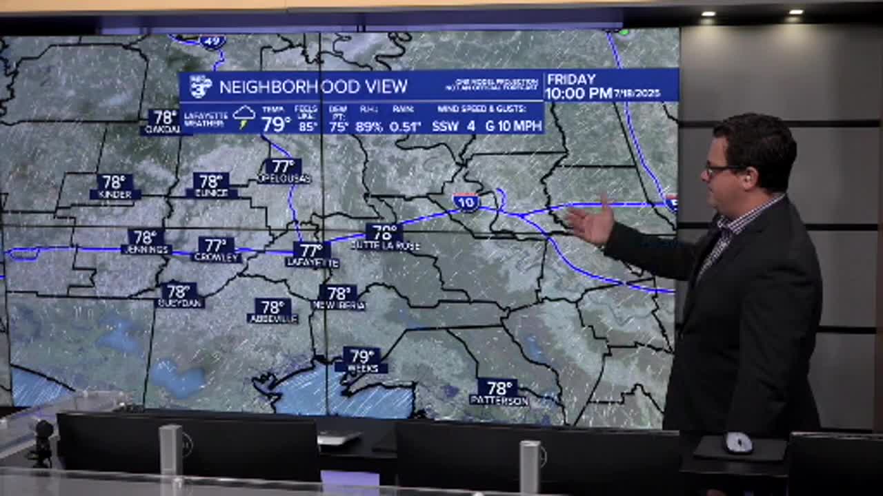


Shaping up to be another wet day across Acadiana with periods of heavy rain expected to continue on Friday.
An early round of rain in the western half of the region likely means the focal point on Friday will be central and west Acadiana.
The flooding threat will slide west as a result and the flood watch will continue for yet another day.
Areas could pick up another 2-4" and so we'll need to monitor for some localized flash flooding, particularly where heavy rain occurs on already saturated ground.

As is always the case with tropical showers you could see isolated areas pick up nearly double the forecasted range.
The rain should slowly wind down through the day and most of the activity will be isolated to scattered on Saturday before we finally can take a breath on Sunday.
We will quickly see heat build back in the area by the end of the weekend and the start of next week, expect to see Heat Advisories posted.
All the moisture we've been dealing with is expected to loop north of us and back around by the end of next week, so we'll get to do all this again.
