


It's hard to say that sweltering heat is back in Acadiana, mostly because it never really went anywhere, but we'll see the thermometers climbing out there once again.
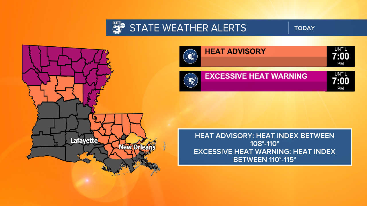
Highs will be back in the mid to upper 90s and the heat index likely sitting between 105-110, we've been flirting with Heat Advisory criteria and it wouldn't be surprising to see one Tuesday afternoon.
Showers and storms are not expected to be as numerous as they were on Monday so there will be fewer things to help us with those temperatures.
It doesn't look like this pattern has any intention of breaking until maybe the end of the work week.
We could be looking at a few more showers by Friday afternoon with an influx of moisture and a stalling boundary moving into the area.
Until then, however, it's looking hot and mostly pretty dry.

We've got the tropical wave train in full swing as we get to the back half of August and approach the true peak of the hurricane season.
So far the pattern seems to be favorable to keep these out in the Atlantic, and none seem to pose an immediate threat to the Gulf.
As always we'll closely monitor the situation and keep you posted on any necessary updates.
