


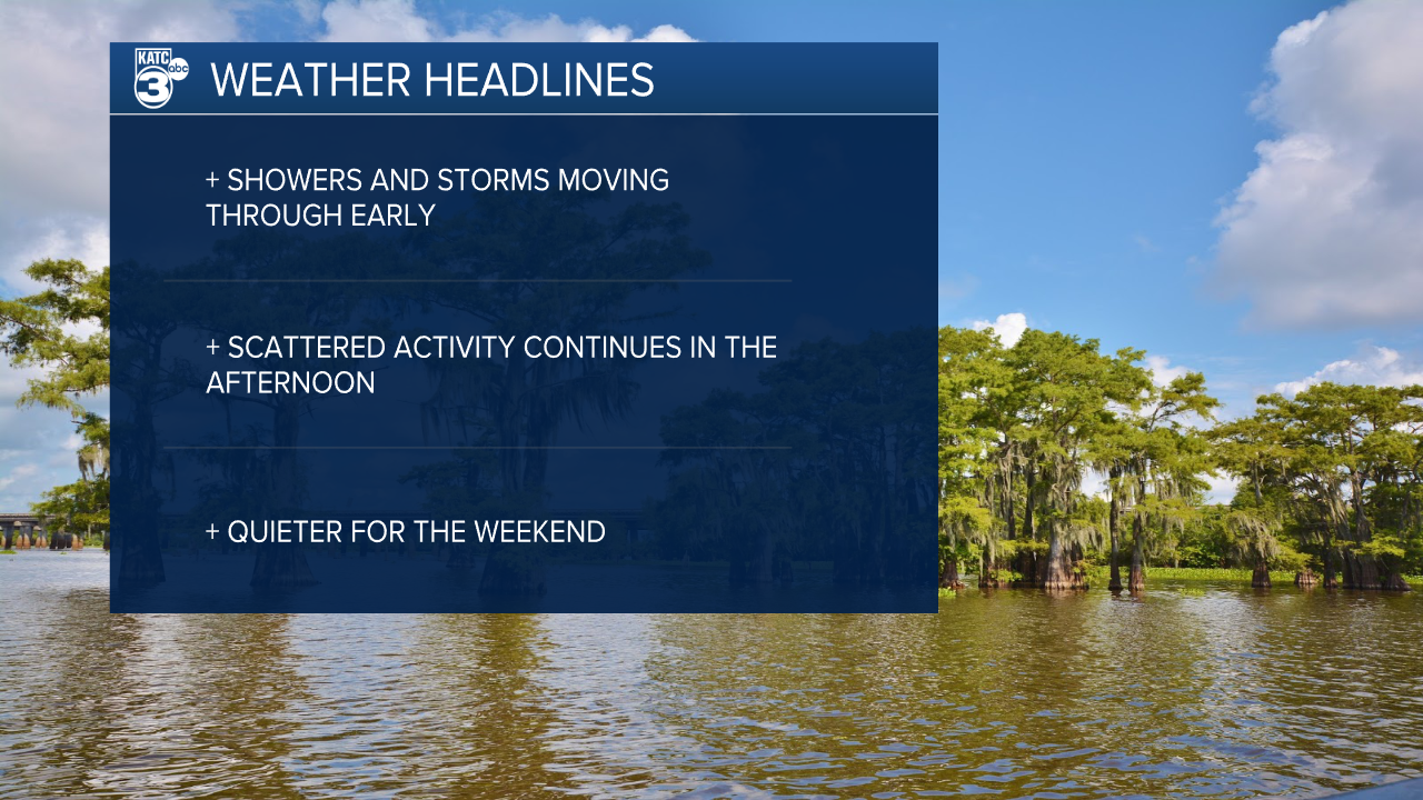
A large complex of storms is moving across Louisiana early this morning which may lead to a tricky commute.
While the heaviest showers and strongest storms appear to be sliding just east of the Atchafalaya Basin, some heft downpours will be moving through Acadiana in the hours leading into daybreak.
So far there hasn't been any storms that have warranted severe weather warnings, but a rouge storm or two could end up on the strong side.
Given the amount of moisture and heat built up torrential downpours and strong winds would be the main concern with any of the stronger storms.
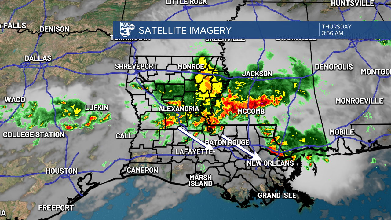
There is a possibility that outflow boundaries from the storms will push west through the day and we could get another round of showers and storms during the late morning and early afternoon hours.
Regardless cloud cover will be more extensive and temperatures as a result will be cooler with highs staying right around 90.
This is going to be our best shot at some rain for a while as rain chances drop heading into the weekend.
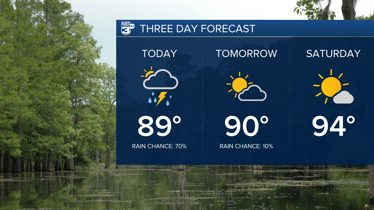
Isolated rain chances will remain for most of next week but never really getting much higher than 20-30 percent.
Temperatures should be closer to normal next week as well hovering in the low 90s through the last few days of August and the start of September.
