

Headlines
- Stormy start to the week with scattered downpours
- Heat returns later this week with daily storm chances
- Invest 97L likely to become next named storm, Erin

Current Conditions
Acadiana is starting the day in the upper 70s under partly cloudy skies. Humidity remains high, with a light breeze from the east at 5–10 mph. Satellite imagery shows broken cloud cover over the Gulf, with deeper moisture east of Florida and spotty showers offshore.
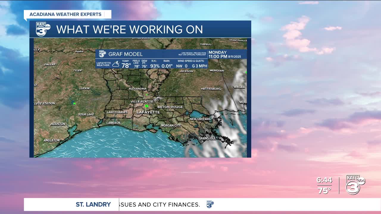
24-Hour Forecast
Scattered showers and thunderstorms are expected this afternoon, especially for our coastal parishes with a 40% chance of rain today. Highs will reach near 90°, and the heat index will feel closer to the mid-90s. Any stronger storm could produce heavy downpours. Tonight will be partly cloudy with lows in the mid-70s.
Next Three Days
- Tuesday: Widespread rain and storms with the highest chances of the week at 70-80%. Heavy rain could lead to localized street flooding. High near 90°.
- Wednesday: Mostly cloudy with rain chances falling to 40-60%. High near 88°.
- Thursday: Isolated to scattered afternoon storms return with highs near 89°.


10-Day Forecast
The first half of the week stays unsettled with above-average rain chances. By Saturday and Sunday, sunshine beings to return with highs in the low 90s and feels-like temperatures in the mid-90s. Another uptick in rain chances is possible by the middle of next week.

Tropical Update
The Atlantic basin is becoming more active. Two disturbances are being monitored:


- Invest 96L: Located over the open Atlantic north of the Caribbean, this system has a low chance of development (10% in 2 days, 20% in 7 days) and poses no threat to the Gulf Coast.
- Invest 97L: A tropical wave moving west from the African coast has a high chance of development (70% in 2 days, 90% in 7 days). Model guidance suggests this could become the next named storm, Erin, in the coming days.
- Atmospheric Pattern: Water vapor and wind shear analysis show generally favorable conditions for development in the far eastern Atlantic, with a moist environment and light-to-moderate shear along 97L’s path.
While neither system is an immediate concern for Acadiana, this serves as a reminder that we’re moving deeper into the heart of hurricane season.
