


Scattered, primarily afternoon and early evening showers and thunderstorms will remain in the forecast for Acadiana this week, while the tropics are starting to get more active.
An atmospheric weakness aloft and deep tropical moisture associated with a weak disturbance in the Northeast Gulf will help to maintain a good chance of scattered afternoon and early evening showers and thunderstorms this week.

This should keep better than normal rain chances for Acadiana most of week with the trend of few showers and storms, but remaining in at least the 20% range for the weekend.

Highs will continue in the lower 90s while lows stay mostly in the mid-70s.
Heat index values will continue to be near 100-104° over the next few days but could climb closer to the 104-108° range by this weekend...it's still summer!
See the KATC 10 Day Forecast for the latest.
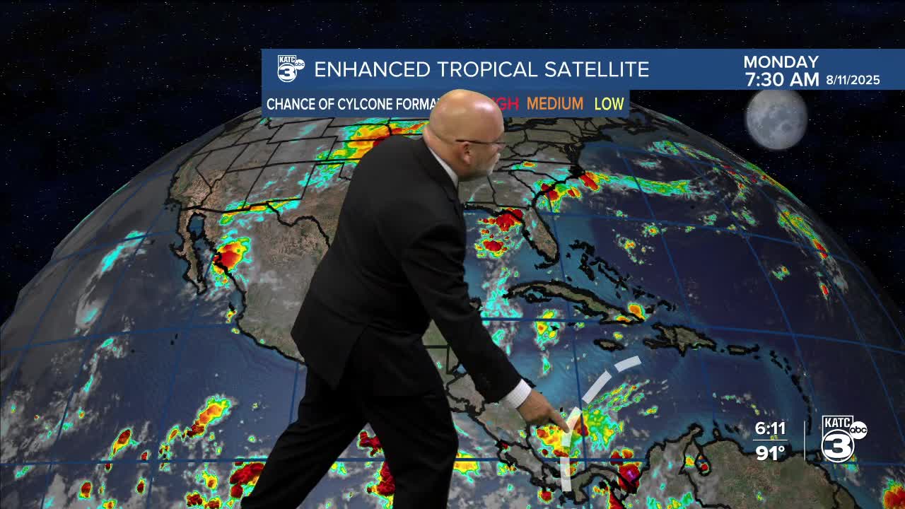
Meanwhile, the main story in the tropics is newly formed Tropical Storm Erin...
Erin is expected to become a hurricane later this week and could become a major storm by the end of the week or this weekend.

Erin does not pose a direct threat to the Gulf.
See today's full tropical briefing below:
