


Scattered afternoon showers and thunderstorms will remain in the forecast for Acadiana through the weekend with some subtle day to day differences and perhaps, a drier, hotter week setting up for next week.

There's been little change in the ongoing forecast with a weak upper low in the Northwestern Gulf of Mexico enhancing Acadiana's daily rain chance prospects, so look for a good chance of storms for our Wednesday.

The pattern changes little Thursday into the weekend, with a general atmospheric weakness in the wake of the upper low that heads toward Texas, but in its stead, there could be some Saharan Dust that advances into the Bayou State Thursday Friday which could in turn, inhibit some thunderstorm activity...but it won't eliminate the chance of storms.

Thus, we've lower the rain chances a touch for the latter part of the week.
Moving into next week, upper level ridging looks to expand across the region which could knock down the rain chances closer to 20% or less....we'll see.
If rain chances go down next week, look for highs to push closer to the mid-90s.
See the KATC 10 Day Forecast for the latest.
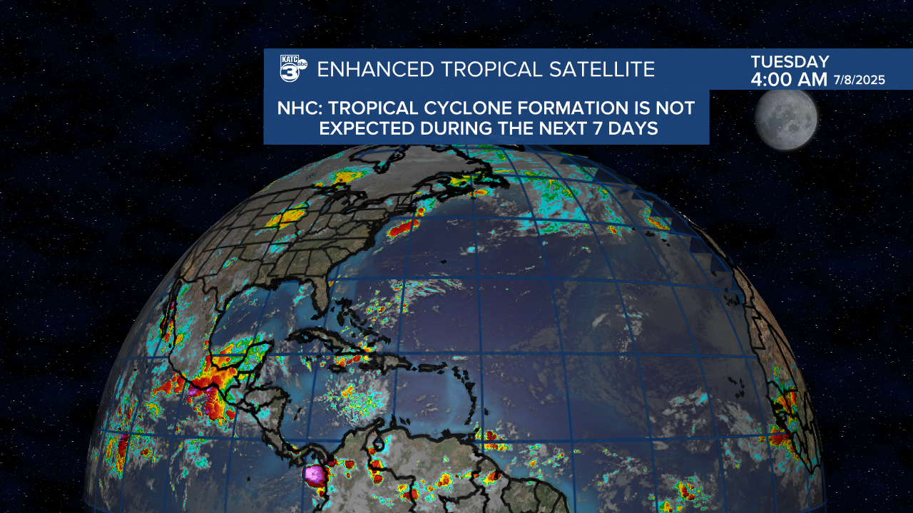
Meanwhile in the tropics, it remains quiet.
