


Sunday may not have been the outright hottest day of the year, we missed the 100 degree mark by one degree, but it certainly was the hottest feeling day we've had so far.
Heat index values Sunday evening hit a blistering 115, and while we're not expecting that level of heat it's going to be another blazing day across south Louisiana.
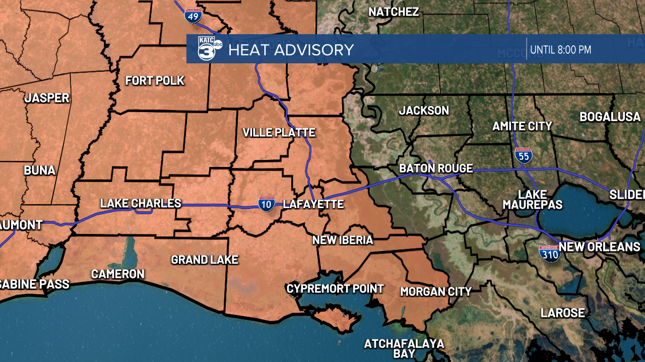
Highs will be back in the upper 90s with the heat index pushing into the 110 range, prompting another Heat Advisory from the National Weather Service.
While we'll be off to a similar start as we were Sunday, we should get a little bit of relief coming from some showers and storms that are expected to drop in from the north in the afternoon.
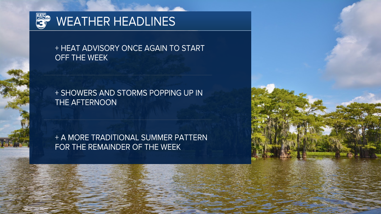
The forecast this week is going to be a little more traditional as temperatures stay only slightly above average but pop up showers return to Acadiana.
Storms will move from north to south over the next couple of days and could impact those evening commutes this week.
A few strong storms will be possible but I don't think they'll hit the same strengths as Friday night's storm as we don't have the same kind of pent up energy we did at the end of last week.
