


Record breaking warmth is in the forecast for Acadiana through Friday, with showers and thunderstorms becoming a pretty good bet for parts of this weekend.
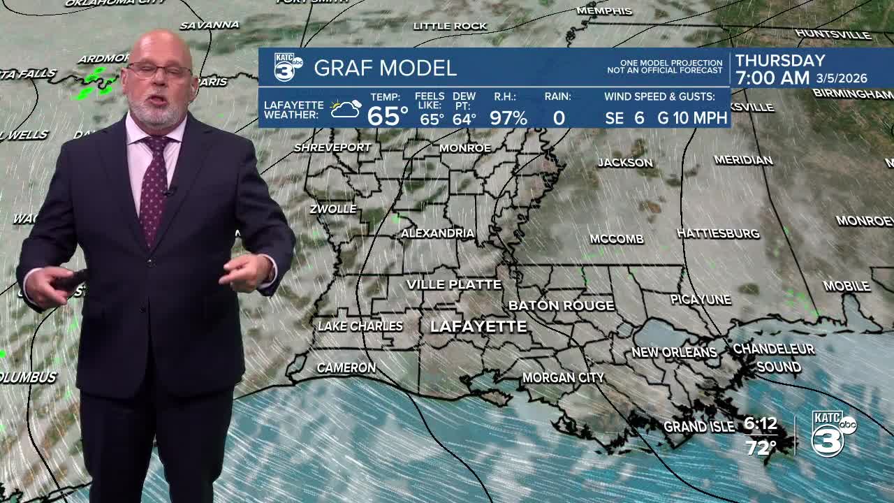
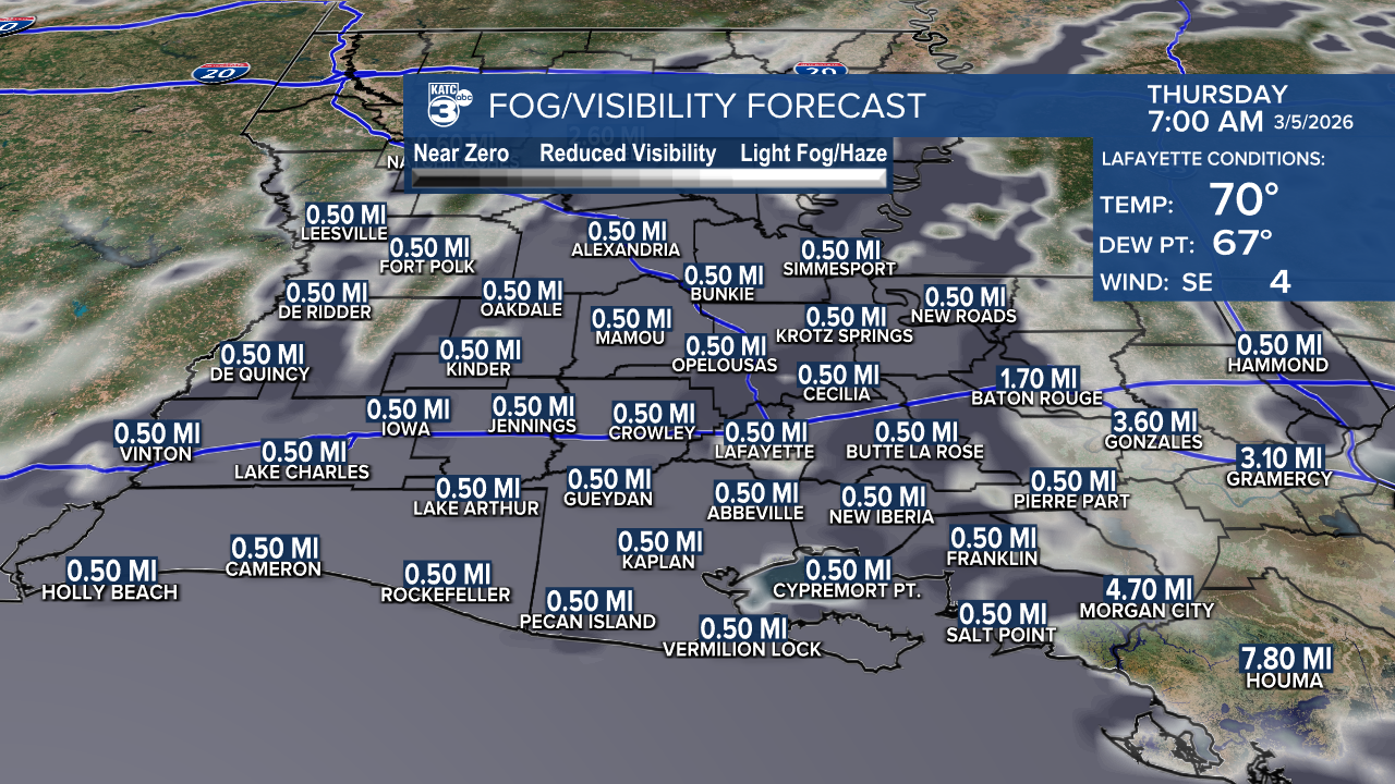
In the near term, expecct another mild, foggy and eventually cloudy night for Acadiana with mild lows in the mid-upper 60s.
Thursday and Friday we should see fewer showers on the radar with partly sunny afternoons, and temperatures possibly surpassing the records of 81° Thursday and 82° Friday, which were both set just one year ago, in 2025.

Rain chances will decrease to 20% or less as we round out the week.

A series of upper disturbances will roll through the state this weekend helping to spark more widespread, but scattered, showers and thunderstorms.

Highest rain chances look to come later Saturday afternoon and/or evening, with another round of activity likely for any time Sunday.
At this time, significant areas of severe weather is not anticipated locally, but will be for areas well to our north and west over the next few days.

By Friday, there looks to be a significant threat of severe storms and some tornadoes across the Plains.

This weekend's rains will likely be in the 1" category with some spots getting up 2", but most of us see an inch or less, per the Euro below.

Our next weather-maker after this weekend should arrive sometime Wednesday; but timing and intensity changes will be likely.
There could still be a severe weather threat with next Wednesday's system, but that could certainly change as we get closer to that time frame.
A cold front for sure will pass through the region by Wednesday night, cooling us off to near normal temperatures later in the week, and will bring plenty of sun for at least a few of days.
See the KATC 10 Day Foreecast for the latest.
