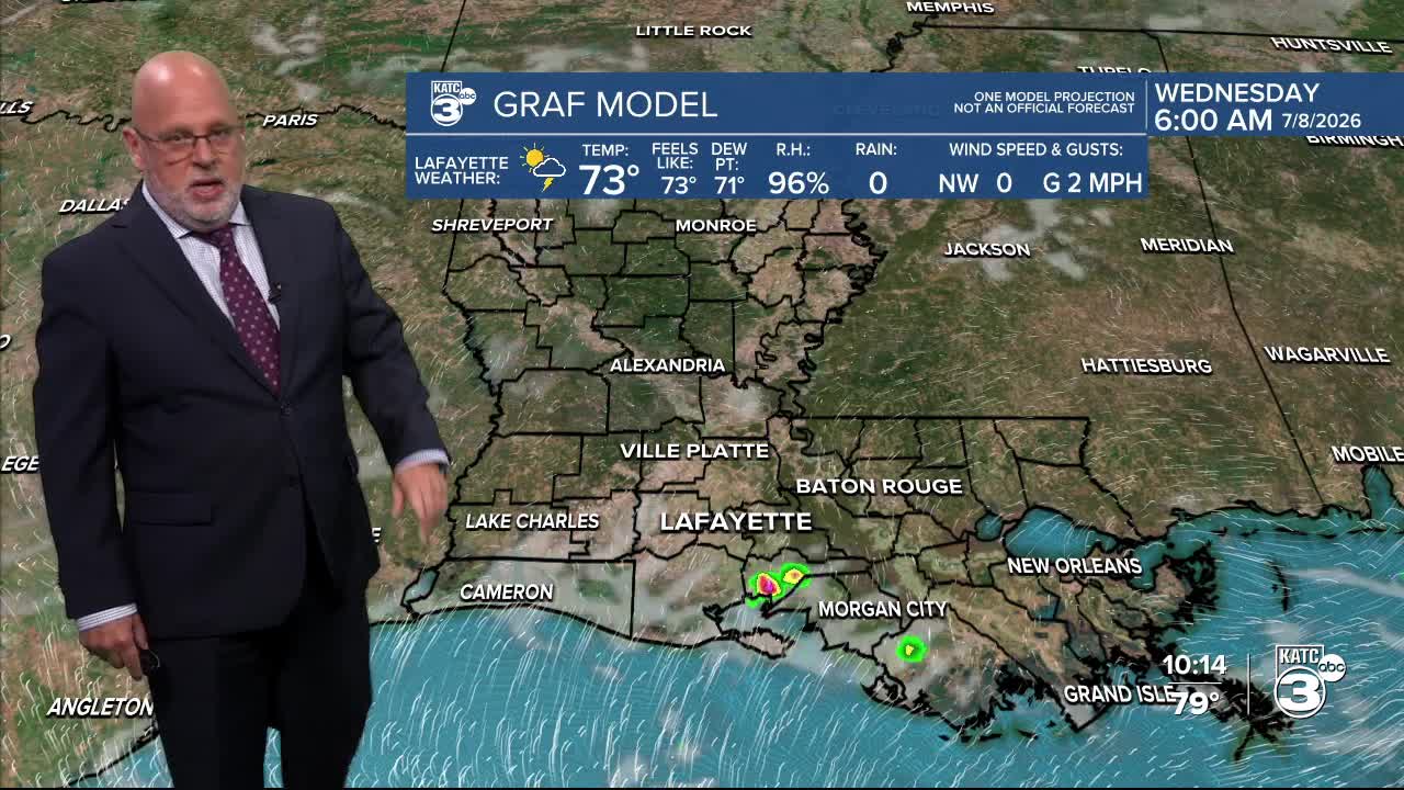


Acadiana's up and down rain chances will continue, while the heat goes mostly "up" over the next few days.
The chance for showers and storms should increase this weekend, and at least, taking some of the edge off of the heat.
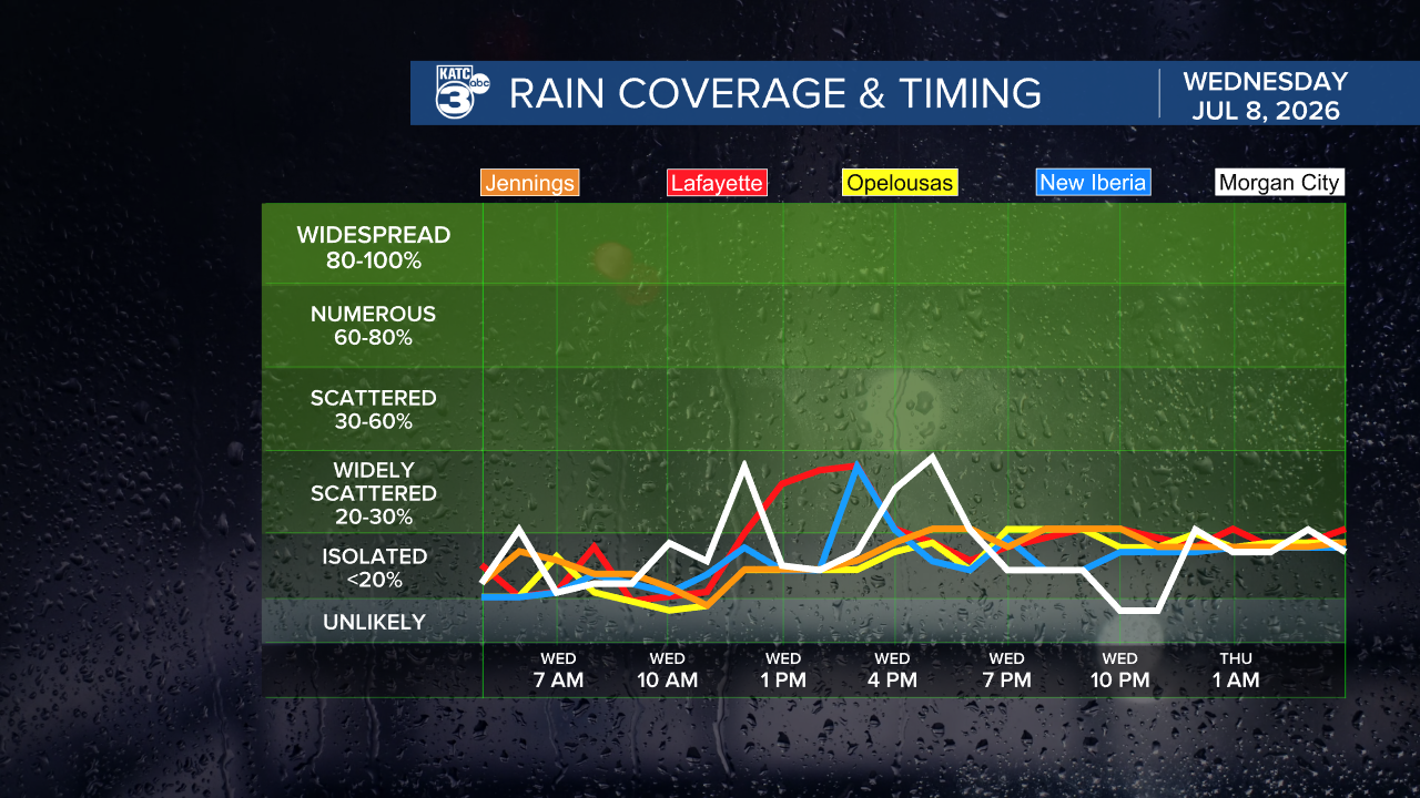
Wednesday is expected to bring fewer storms than what we saw Tuesday, with chances of getting wet closer to 40-50% Wednesday and 30-40% Thursday...in other words typical July weather.

Temperatures will top out in the lower 90s for the rest of the week while afternoon heat index values push up to 103°-106°.
By Friday, the atmosphere is expected to get more unstable again allowing for rain chances to increase back into the 60% range through Saturday.
Rain chances are expected to go even higher Sunday into early next week with a hint of another enhanced wave may push through the region early next week.
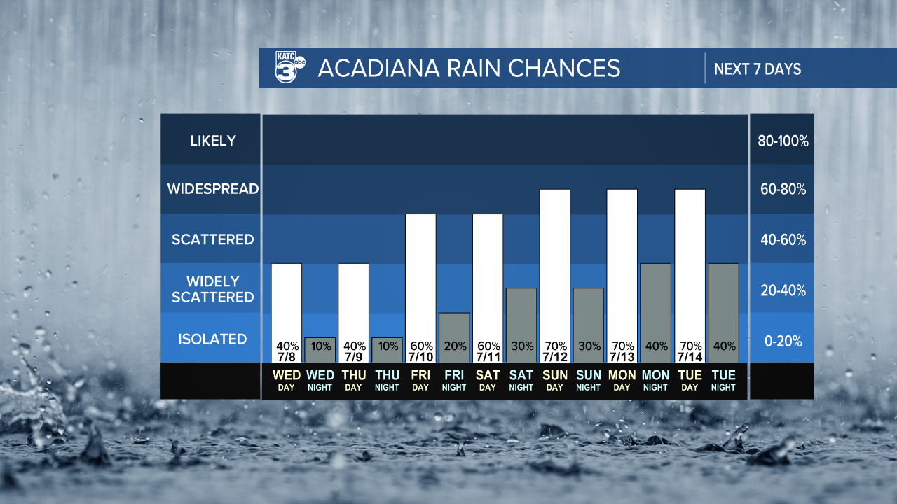
High temperatures will hold closer to the mid-upper 80s later this weekend into early next week thanks to the additional cloud cover and rain/storms.
As for rain totals, with scattered activity continuing, a rough guess (like the Euro below) would be for most areas to catch roughly 1-3" over the week long period, but isolated hotter spots may develop if indeed we see another tropical-like wave early next week.

Rain chances are expected to begin tapering later next week, and with any luck, for the weekend that follows.
See the KATC 10 Day Forecast for the latest.
Meanwhile in the tropics, it appears that El Niño-enhanced upper shear is already screaming across portions of the Caribbean, which will keep any activity at bay for at least the next couple of weeks...maybe for a good part of the summer too...we'll see!

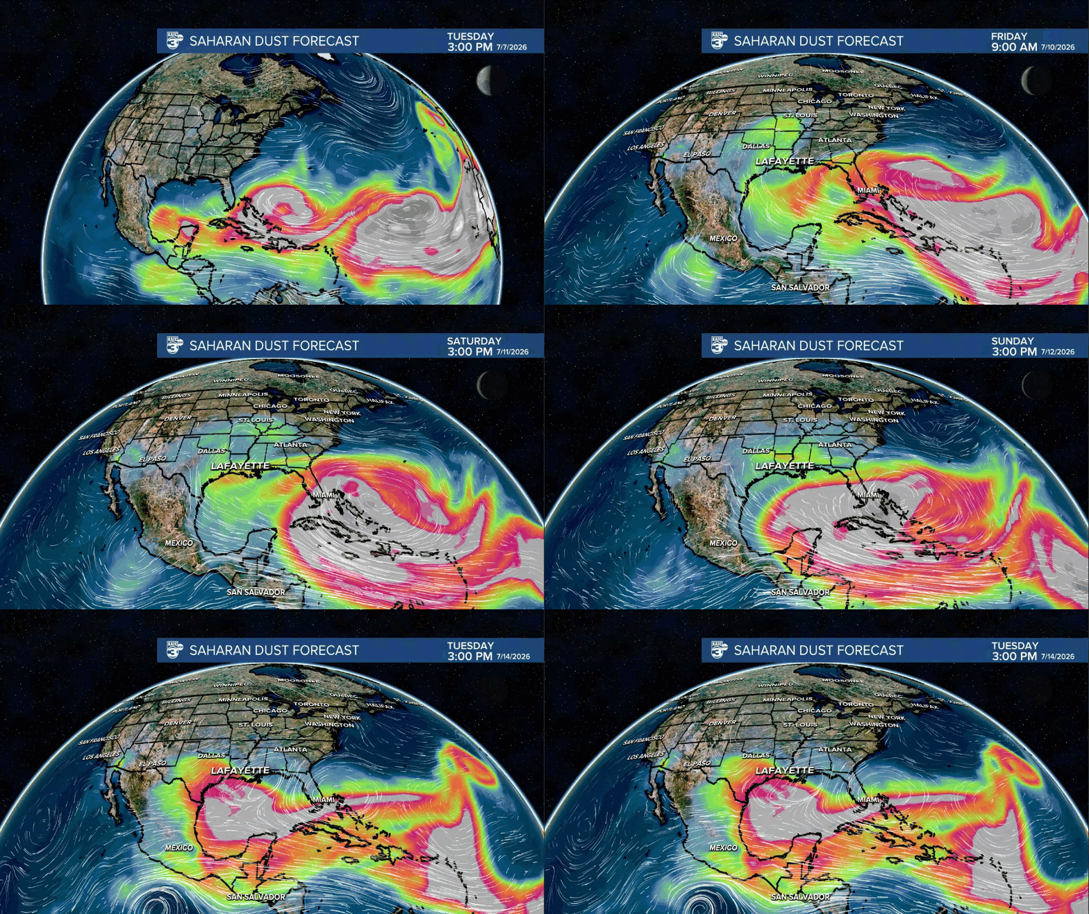
Of note, some large areas of African Dust are heading for the Southeast U.S. and portions of the Gulf Coast over the next week, which may also help to reduce our rain chances down the road at the expense of hazier skies.