


Rain chances will ramp up for Acadiana by Wednesday ahead of a cool front that should deliver more pleasant temperatures and humidity Friday into the weekend.
In the near term, expect another warm and humid night leading into a hot and humid Tuesday.
A few scattered, hit or miss, afternoon showers and thunderstorms will be possible Tuesday with rain chances near 30-40%.

Highs Tuesday will be near 90°, but with dew points climbing into the mid-upper 70s, the heat index will likely exceed 100° during the early afternoon.
The chances of showers and storms should improve to at least 60% Wednesday into Wednesday night, ending early Thursday.

Do not look for a whole lot of rain, but rain totals of 1/2-1" will be possible, and is much needed across the area.

In addition, the Storm Prediction Center (SPC) has Acadiana and most of Louisiana hatched in for a low-end, marginal risk, of a few isolated severe storms that could produce strong to possibly damaging winds in isolated spots Wednesday.
Rains and any storms should taper by Thursday morning with a slow clearing process to follow.
Thereafter, it's a switch to a weather pattern more akin to late September with a nice breeze Friday, accompanied by more pleasant temperatures and humidity.

Look for morning lows to dip into the low-mid 60s this weekend, while daytime highs will likely be in the low-mid 80s Friday and near the mid-80s this weekend.

Much of next week is also looking dry with a slow moderating trend on our temperatures.
See the KATC 10 Day Forecast for the latest.
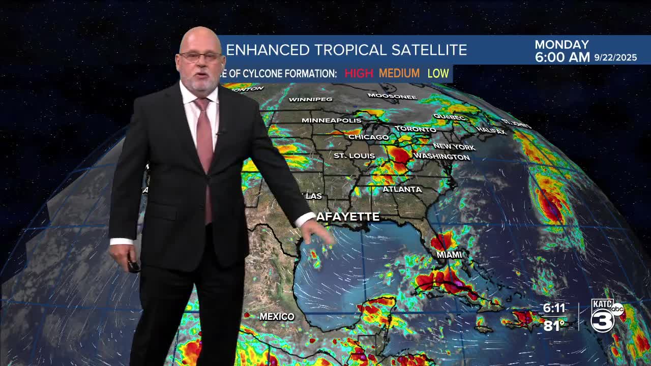
Meanwhile in the tropics, Hurricane Gabrielle became a Major Category 4 storm east of Bermuda Monday packing 140 mph winds.

Fortunately, Gabrielle will remain a "sea" storm weakening before reaching Europe in 6-7 days.

Elsewhere, the National Hurricane Center is keeping an eye on two disturbances that could develop in the days ahead...the latest below:
