


A hot and relatively dry pattern remains in the forecast for Acadiana through the weekend, with rain chances on any given day remaining 10% or less.
High pressure aloft to our west and the surface to our southeast, will insure Acadiana will continue to experience hot and humid conditions along with suppressed rain chances.

The more active area for storms this week has shifted to the Plains with some impacts possible southeastward through Northern Louisiana into Mississippi...most, if not all of this activity, should not reach Acadiana, but if it does, that's where the 5-10% rain chances come in.
There could still be an isolated renegade thundershower pop up Wednesday and perhaps Thursday afternoon too, but chances remain meager, and the atmosphere should dry out even more into the weekend.

Daily highs will top out into the low-mid 90s into the weekend, accompanied by heat indices near the 100-105° range, which is not unusual from this time of year.
Lows at night through daybreak will stay planted in the mid-70s.
Our next best chance of any shower or thunderstorm activity should arrive by mid-next week as a weak disturbance approaches from the east.
See the KATC 10 Day Forecast for the latest.
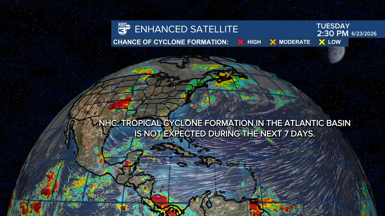
Meanwhile in the tropics, it's nice and quiet and the long-range outlook from the Climate Prediction Center keeps it that way through mid-July!

We will see some batches of African Dust moving across the Atlantic and into the Gulf over the next week, with some dust bringing hazy skies to Acadiana Wednesday/Thursday.

Perhaps a more robust cloud of dust could be heading to our part of the Gulf Coast in about a week's time.
