


MONDAY APRIL 29, 2024 — After a round of strong storms and locally heavy rainfall Monday, Acadiana is in for a quieter spring day Tuesday, but some showers remain in the forecast for later this week.

In the near term, in the wake of this morning's rains, and with temperatures and dew points hanging out close to each other overnight, areas of fog will be a pretty good bet for Acadiana through daybreak Tuesday.
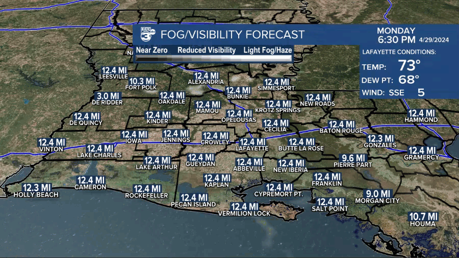
Any fog should burn off quickly tomorrow morning.
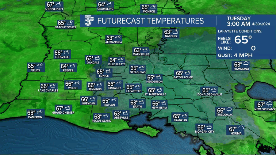
Look for mostly sunny skies and warm temperatures to return to the area Tuesday with highs pushing back into the mid-80s.

Wednesday will bring partly cloudy skies, but there should be a 30-40% chance of scattered showers and a few storms as a weak (and weakening) disturbance rides in from Texas.
Highs Wednesday will be in the low-mid 80s.
Much the same can be expected Thursday, with another weak disturbance arriving by later in the day.
A little stronger disturbance will be possible Friday (per both the Euro and GFS models) with a better chance of scattered showers and thunderstorms.
Rain chances should decrease to near 20% this weekend (subject to change) while temperatures start pushing the upper 80s.
Beyond the weekend it appears that a rather summer-like ridge will develop across the Western Gulf, which could translate to highs getting into the lower 90s for the first time this year....summer is knocking on the door!
See the KATC 10 Day Forecast for the latest.
