

Sunshine will be returning this week after some gray days that included a lot of rainfall early in the weekend. We'll have a number of days to dry out this week before any other rain moves in our region.
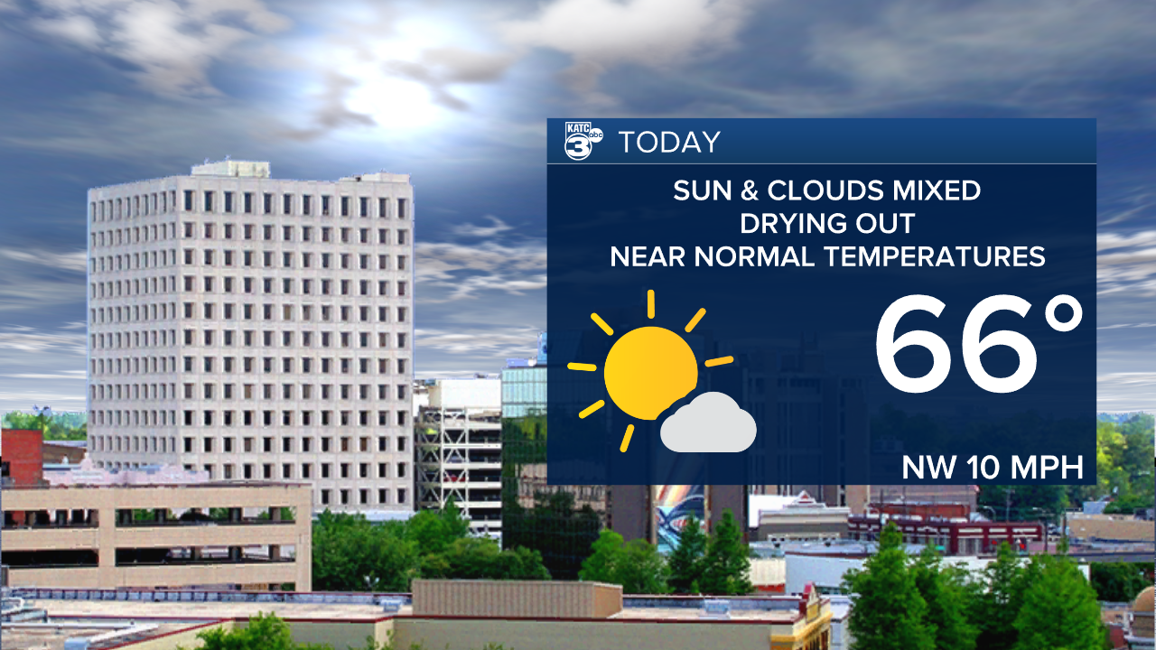
There's still a southwest flow in the upper parts of the atmosphere. This is pulling Pacific moisture overhead in the form of high, thin cloudiness. The lower levels will be drying out with a weak cold front passing through this morning. As winds shift to the northwest, dew points will drop making it a rather comfortable day. Highs will reach the mid 60s for highs.

Overnight, expect generally fair skies with some high level cloudiness as high pressure builds in. Lows will drop into the lower 40s in Acadiana, with a few upper 30s over central Louisiana. Look for more sunshine Tuesday and Wednesday. Highs Tuesday will approach 70. Wednesday, we'll see another piece of energy sliding across the Ohio Valley which should push come cooler air in. Highs Wednesday should hold in the lower 60s.

The pattern begins to shift again by the end of the week. Low pressure developing to our west will wind up and pull from west Texas northeastward toward the Midwest. Temperatures will rise back into the lower 70s by Friday.

The next chance for showers and thunderstorms is Saturday. This system looks to be more potent over the middle part of the country. Rain is expected to end Sunday with dry and cooler conditions again early next week.
